What is recorded here
Thirty metres northeast of the main fort stands a second possible ringfort, creating a rare paired defence in open pasture. The larger circle measures forty-five metres across, its scrub-covered bank still marking the eastern entrance gap despite post-1700 field boundaries cutting through the southeast and west. Dromin church and graveyard lie three hundred and fifteen metres southwest, suggesting human life clustered around these earthworks for generations. The name Fairy fort reveals what measurement cannot capture: people saw this place as belonging to another kind of existence, where the boundary between the living and the hidden grew thin.
In pasture 80m S of the townland boundary with Dromin North. Possible ringfort (LI039-082----) lies 30m to NE. Dromin church (LI039-079001-) and graveyard (LI039-079001-) 315m to SW Depicted on the 1897 ed. OSi 25-inch map as circular-shaped area (diam. c. 45m) enclosed by a bank with external fosse only indicated from S-SW and from W-NW. Monument visible as a circular-shaped area enclosed by a scrub-covered bank on Google Earth orthoimage dated 14/09/2019 with entrance gap at E. Intersected at SE and W by post-1700 field boundaries as shown on aerial photographs.
See attached Google Earth orthoimages and ASIAP aerial photograph (328) 18.
Compiled by: Martin Fitzpatrick
Date of upload: 29 April 2021
See attached ASI aerial photograph ASIAP – 372/12, 13, 14 on 05/01/2003.
The monument record does not grant public access. Check the route and ask the landowner before entering private land.
- What survives
- Recorded monument
Places near here
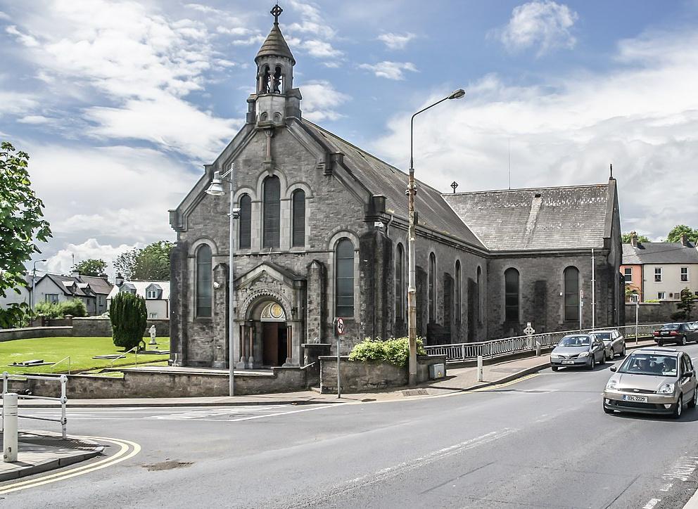 Dromin Church (in ruins)Church · 401 yd
 Quarry in Dromin NorthQuarry · 575 yd
 BarrowBarrow, unclassified · 634 yd
 Lisheen, hachuredFairy fort / earthen ringfort · 1571 yd
 Bawn in MaidstownBawn · 1664 yd
 Bawn in Ballycullane (kilmallock By.)Bawn · 1.6 mi
 King John's CastleCastle · 2.6 mi
 St Bridget's WellSpring · 4.3 mi
 Glen BogForest · 5.1 mi
 KnockainyMountain / peak · 5.5 mi
 Flat cemetery in Knockainy WestFlat cemetery · 6.1 mi
 Ballinvreena LoopVisitor information · 7.2 mi