What is recorded here
Fairy fort in Dromin South, County Limerick: an earthen ringfort, oval 18 by 14 metres, still standing in pasture beside the Wellfield boundary. People called it a fairy fort because the shape and silence made it sound like a dwelling rather than a ruin. It may have been a farmstead, a refuge or a boundary marker before becoming a story. The earth remembers hands even when names are lost.
In improved pasture immediately W of a field boundary that marks the townland boundary with Wellfield. Trinity Well (LI039-077----) lies 300m to NW and church (LI039-079001-) 270m to NE. Depicted on the 1840 ed. OSi 6-inch map as a circular-shaped area enclosed by a bank. It is shown on the 1897 ed. OSi 25-inch map as a raised oval-shaped area (dims. c. 18m NW-SE; 14m NE-SW) defined by a scarp. The monument is visible on aerial photograph (ASIAP (272) 17) taken 16/05/2003 and on Google Earth orthoimage dated 20/09/2020 as a raised oval-shaped platform intersected at W by a field boundary running NW-SE.
See attached Google Earth orthoimages.
Compiled by: Martin Fitzpatrick
Date of upload: 28 April 2021
See attached ASI aerial photograph ASIAP – 372/17 on 10/05/2003
The monument record does not grant public access. Check the route and ask the landowner before entering private land.
- What survives
- Recorded monument
Places near here
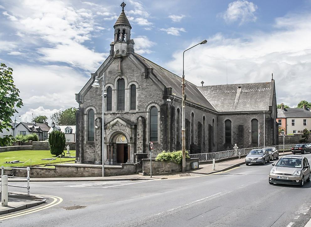 Dromin Church (in ruins)Church · 312 yd
 Quarry in Dromin NorthQuarry · 439 yd
 BarrowBarrow, unclassified · 554 yd
 Lisheen, hachuredFairy fort / earthen ringfort · 980 yd
 Bawn in MaidstownBawn · 1288 yd
 Bawn in Ballycullane (kilmallock By.)Bawn · 1.5 mi
 King John's CastleCastle · 2.4 mi
 St Bridget's WellSpring · 4.2 mi
 Lady's WellSpring · 5.0 mi
 Glen BogForest · 5.5 mi
 Flat cemetery in Knockainy WestFlat cemetery · 6.4 mi
 Ballinvreena LoopVisitor information · 7.3 mi