What is recorded here
Clear in County Kerry, the fort is a single earth bank 34 to 36 metres across, with a narrow outside ditch and a possible southeast opening. It stands northeast of Dromin House, large enough for a small occupied yard rather than a passing fairy trick. The broken bank and curved ditch suggest people went in and out there, while the fairy name keeps the old wonder alive.
Internal diameter 34m N-S, 36m E-W
This univallate rath is situated NE of Dromin House. It consists of a circular area enclosed by a well-defined earthen bank and a slight trace of an external fosse. The enclosing bank is on average 6.5m in width at the base. It rises to a maximum height of 2m externally and .8m-2.6m above the interior. An external fosse is to be noted mainly to the S to SE, where it is 1.6m wide and .5m deep. The enclosing bank S to SE contains three breaks, but the possible entrance is SE where it is 3m wide. At this point the fosse curves in towards the opening.
The above description is derived from C. Toal, ‘North Kerry Archaeological Survey’. Dingle. Brandon in association with FAS Training and Employment Authority (1995), no. 425. In certain instances the entries have been revised and updated in the light of recent research.
Date of upload: 2 August 2013
The monument record does not grant public access. Check the route and ask the landowner before entering private land.
- What survives
- Recorded monument
Places near here
 Fulacht fia in CoolatoosaneFulacht fia · 645 yd
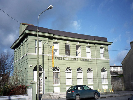 Listowel Carnegie Free Librarylibrary/archive · 1.1 mi
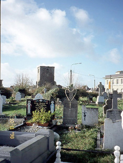 church/chapelchurch/chapel · 1.1 mi
 Fulacht fia in BallygowlogeFulacht fia · 1.2 mi
 Statue of SchillerMemorial · 1.2 mi
 John B. Keane GroveMemorial · 1.2 mi
 Lartigue MonorailMuseum · 1.3 mi
 Kerry Writers' MuseumMuseum · 1.4 mi
 Listowel Castle (in ruins)Castle, tower house · 1.4 mi
 CastleCastle, tower house · 1.5 mi
 KnockanoreMountain / peak · 7.3 mi
 Siege of Carrigafoyle Castlesiege · 7.5 mi