What is recorded here
Dromin holds a forgotten ringfort where a twenty-five metre circle once commanded the Kerry sky. Ploughs and time have bitten the earth until only a faint ridge remains, yet the shape resists erasure. Someone stood there beneath open stars, watching the land turn and believing the circle would hold them safe.
Internal diameter 25m N-S, 23m E-W
Situated on fairly high ground, a good view is afforded in all directions. This univallate rath has been much levelled and today it appears as a slight rise above the surrounding land to the NE where a low, wide bank is evident for c 13m. The average height of the bank measures .3m.
The above description is derived from C. Toal, ‘North Kerry Archaeological Survey’. Dingle. Brandon in association with FAS Training and Employment Authority (1995), no. 226. In certain instances the entries have been revised and updated in the light of recent research.
Date of upload: 2 August 2013
The monument record does not grant public access. Check the route and ask the landowner before entering private land.
- What survives
- Recorded monument
Places near here
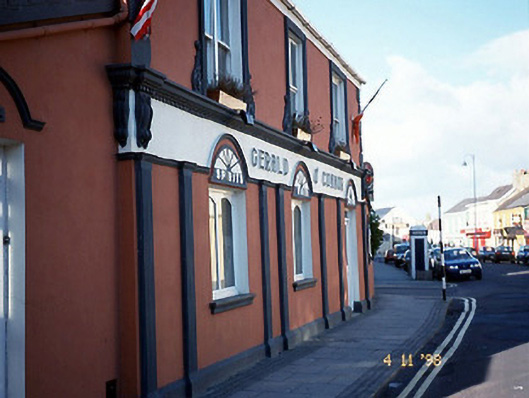 Gerald O'Connorhouse · 537 yd
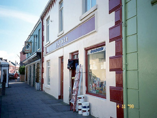 J. Lynchhouse · 571 yd
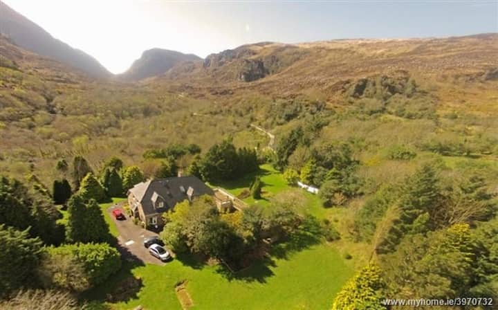 ToberreendoneyHoly well · 875 yd
 Ballybunion Cliff PathWalking route · 938 yd
 Man-made underground passage in BallybunnionMan-made underground passage · 1056 yd
 Ladies' BeachBeach / strand · 1062 yd
 CastleCastle, tower house · 1078 yd
 Men's BeachBeach / strand · 1278 yd
 Dookeenee CastleCastle · 1303 yd
 PulleenIslet · 1569 yd
 Crazy GolfHeritage attraction · 1.2 mi
 Doon PointHeadland · 1.5 mi