What is recorded here
Fairy fort in Dromhale, County Kerry: a circular earthen ringfort about fifty metres across, marked on the 1846 Ordnance Survey map and still faintly visible decades later. The landowner says it was levelled, yet an uneven rise and a low boundary remain beside the pasture, tangled with badger sets and rabbit burrows. Whatever lived there before the soil was taken, the earth kept its shape long enough to be measured, drawn and remembered.
In pasture, at the edge of a steep SSE-facing slope. According to the landowner, the rath was levelled 'decades ago'. A low field boundary (Wth 1m; int. H 1.1m; ext. H 0.2m) is evident E-N, parts of which may incorporate dumped material from the bank. Inside this field boundary the ground is uneven. A low rise is visible N-E along the line of the bank. Numerous badger sets, rabbit burrows and trees occur along the field boundary. The rath is indicated as a circular enclosure (diam. c. 50m) on the 1846 OS 6-inch map and as a circular raised area (diam. c. 40m), skirted SE-NNW by a field boundary, on the 1939 OS 6-inch map.
Compiled by: Elizabeth Byrne, Ursula Egan and Sheila Ronan, Archaeological Survey Unit, University College, Cork.
Date of upload: 31 January 2011
The monument record does not grant public access. Check the route and ask the landowner before entering private land.
- What survives
- Recorded monument
Places near here
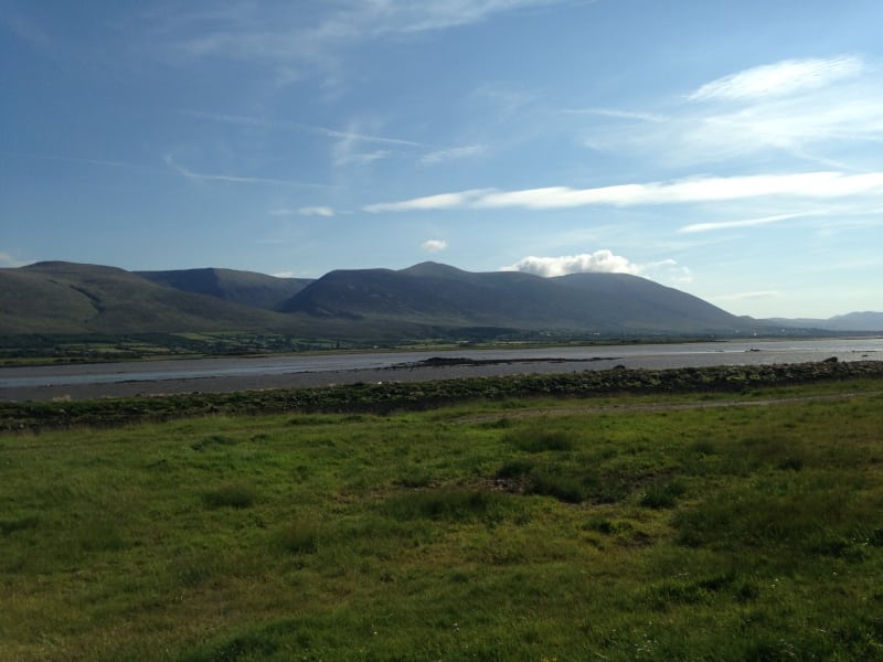 Sundays WellHoly well · 607 yd
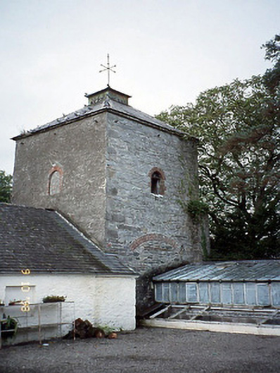 Killarney Housedovecote/pigeon house/aviary · 657 yd
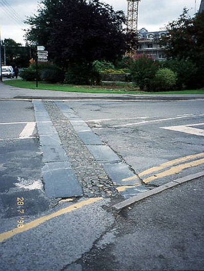 cobbles/flags/paving/kerbingcobbles/flags/paving/kerbing · 662 yd
 Killarney First World War MemorialMemorial · 713 yd
 Jaunting ToursHeritage attraction · 765 yd
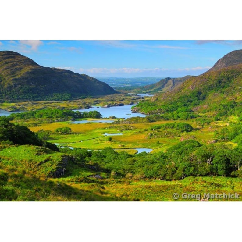 Ladys WellHoly well · 862 yd
 Monsignor Hugh O'Flaherty MemorialMemorial · 899 yd
 The WildernessForest · 954 yd
 Giant SequoiaGiant Sequoia · 1541 yd
 McCarthy Mor CastleCastle · 1.0 mi
 River WalkWalking route · 1.2 mi
 Circular WalkWalking route · 1.3 mi