What is recorded here
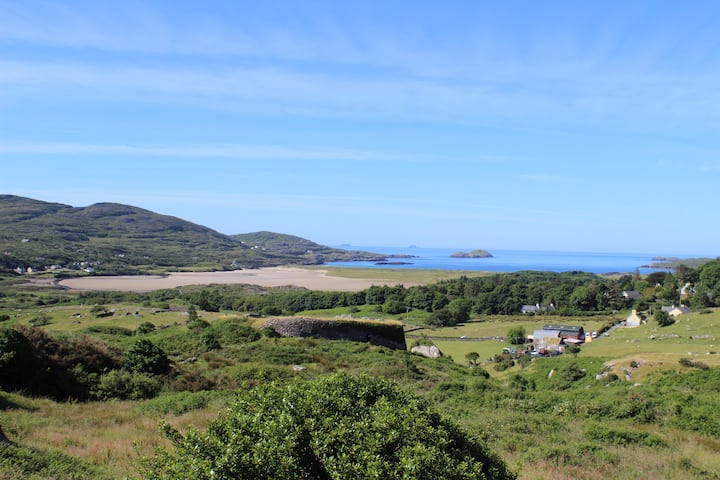
Dromgower holds a broad earthen ring where two curved mounds and a long shallow trench still mark the lives of the people who built them. The fairies belong to local story, not the evidence inside the bank.
Internal diameter 41m N-S, 40m E-W
Situated four fields SW of KE014-023----, this univallate ringfort consists of a large circular area enclosed by a well-defined bank of earth and stone. The enclosing bank is c 7m wide at the base and rises to .6m-1.7m above the surrounding land and an average of .75m above the interior. In the NE-E sector of the interior are two semi-circular mounds curving in towards the bank. The NE one would appear to have a 1.8m wide opening to the S. About 4.5m SW of the second enclosure is a small mound, 1.7m x 2.8m. Extending out of this and curving N for c 10m is a depression 3.8m wide. Drystone walling is evident. At the end of this ridge is another small mound, 2.4m x 3m. In the SE sector just S of the ridge is another mound, 2.6m x 3m. These features could be the remains of the Man-made underground passage (KE014-065001-) marked as 'cave' on the 1842 OS map. In the SW sector there is a large semi-circular enclosure curved in towards the bank. It possibly had an opening to the NW, where there is a slight break in the bank, and both ends curve inwards. A possible c 4m wide entrance lies to the SW.
The above description is derived from C. Toal, ‘North Kerry Archaeological Survey’. Dingle. Brandon in association with FAS Training and Employment Authority (1995), no. 475. In certain instances the entries have been revised and updated in the light of recent research.
Date of upload: 2 August 2013
The monument record does not grant public access. Check the route and ask the landowner before entering private land.
- What survives
- Recorded monument
Places near here
 PurtaheenHoly well · 376 yd
 LosgortarughelArchaeological place · 571 yd
 Saint Mary's Catholic Churchchurch/chapel · 615 yd
 Our Lady's Holy WellSpring · 875 yd
 Ballyheige Castlecountry house · 1726 yd
 CastleCastle, unclassified · 2.0 mi
 Castle (in ruins)Castle, unclassified · 2.2 mi
 Maulin MountainMountain / peak · 2.7 mi
 Triskbeg MountainMountain / peak · 3.2 mi
 Inshaboy PointHeadland · 3.5 mi
 Banna StrandBeach / strand · 4.5 mi
 Pierce's IslandIslet · 4.8 mi