What is recorded here
Dromgower holds a circular rath marked on maps from 1842 to 1916, yet thick growth now hides the bank and fosse from human eyes. The forgotten caves inside suggest the fort was never empty, only waiting for patience clever enough to find its doors.
This univallate rath is marked on the 1842 and 1916 OS maps. 'Caves' (KE014-066001-) is marked in the interior. The site would appear to consist of a circular area enclosed by a bank and fosse. However, this site is completely overgrown and inaccessible.
The above description is derived from C. Toal, ‘North Kerry Archaeological Survey’. Dingle. Brandon in association with FAS Training and Employment Authority (1995), no. 478. In certain instances the entries have been revised and updated in the light of recent research.
Date of upload: 2 August 2013
The monument record does not grant public access. Check the route and ask the landowner before entering private land.
- What survives
- Recorded monument
Places near here
 LosgortarughelArchaeological place · 454 yd
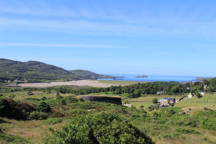 PurtaheenHoly well · 607 yd
 Saint Mary's Catholic Churchchurch/chapel · 878 yd
 Our Lady's Holy WellSpring · 1123 yd
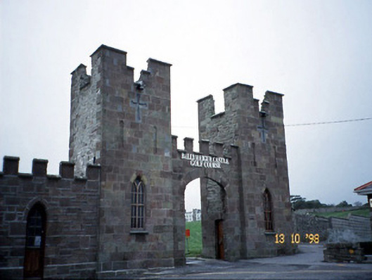 Ballyheige Castlegate lodge · 1.1 mi
 CastleCastle, unclassified · 1.8 mi
 Castle (in ruins)Castle, unclassified · 2.0 mi
 Maulin MountainMountain / peak · 2.9 mi
 Triskbeg MountainMountain / peak · 3.5 mi
 Inshaboy PointHeadland · 3.5 mi
 Banna StrandBeach / strand · 4.5 mi
 Pierce's IslandIslet · 4.8 mi