What is recorded here
Fairy fort / earthen ringfort in Dromdeer West: In tillage. Circular area (31m E-W; 28.3m N-S) enclosed by heavily overgrown earthen bank (H 0.9m) and external fosse (D 0.7m), most clearly visible on NW side. Field fence to S of site levelled and material dumped around S side of enclosure. Interior overgrown with deciduous trees. Ringfort (CO025-04602-) lies c. 20m to S.
In tillage. Circular area (31m E-W; 28.3m N-S) enclosed by heavily overgrown earthen bank (H 0.9m) and external fosse (D 0.7m), most clearly visible on NW side. Field fence to S of site levelled and material dumped around S side of enclosure. Interior overgrown with deciduous trees. Ringfort (CO025-04602-) lies c. 20m to S.
The above description is derived from the published 'Archaeological Inventory of County Cork. Volume 4: North Cork' (Dublin: Stationery Office, 2000). In certain instances the entries have been revised and updated in the light of recent research.
Date of upload/revision: 14 January 2009
The monument record does not grant public access. Check the route and ask the landowner before entering private land.
- What survives
- Recorded monument
Places near here
 Fulacht fia in Dromdeer WestFulacht fia · 315 yd
 CromoreCountry house · 503 yd
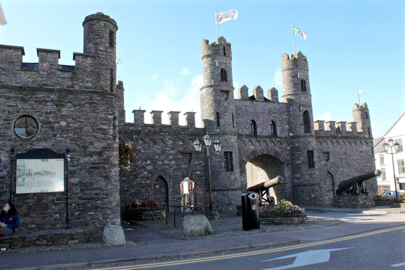 CrobegCountry house · 987 yd
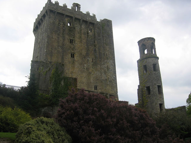 TurretDovecote · 1483 yd
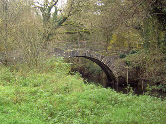 Doneraile Courtfoot bridge · 1.1 mi
 Pedunculate OakPedunculate Oak · 1.2 mi
 Scots PineScots Pine · 1.4 mi
 Doneraile HouseHeritage attraction · 1.7 mi
 Doneraile Castle (Site of)Castle, unclassified · 1.9 mi
 Smith's WellSpring · 2.3 mi
 Shanballymore Castle (Site of)Castle, unclassified · 3.1 mi
 In loving memory of Elvis O'DonoghueMemorial · 6.6 mi