What is recorded here
Mortons and Drombeg still stand as rows of standing stones on open ground. They are not a complete circle, nor a hidden cache, nor a border marker for a lost province. They are local stone work made visible by time, and they belong to Kerry’s living landscape.
Internal diameter 33m N-S, 32m E-W
This univallate rath is situated in the corner of a field in poor pastureland. It consists of a circular space enclosed by a low, c 10m wide bank. This earthen bank rises to a maximum of 1.4m externally and .9m above the interior. There is a slight trace of an external fosse to the SE to E, where it can seen for c 23m; it is c 2m wide and .5m deep.
The above description is derived from C. Toal, ‘North Kerry Archaeological Survey’. Dingle. Brandon in association with FAS Training and Employment Authority (1995), no. 398. In certain instances the entries have been revised and updated in the light of recent research.
Date of upload: 2 August 2013
The monument record does not grant public access. Check the route and ask the landowner before entering private land.
- What survives
- Recorded monument
Places near here
 Fortification in DrombegFortification · 169 yd
 ToberreendoneyHoly well · 433 yd
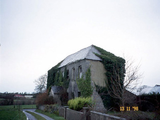 Bedford Househouse · 994 yd
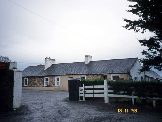 Gunsboroughfarmyard complex · 1.4 mi
 Lartigue MonorailMuseum · 2.0 mi
 John B. Keane GroveMemorial · 2.0 mi
 Bawn in GlouriaBawn · 2.0 mi
 Bryan MacMahonMemorial · 2.4 mi
 Kerry Writers' MuseumMuseum · 2.4 mi
 Listowel Castle (in ruins)Castle, tower house · 2.4 mi
 KnockanoreMountain / peak · 5.6 mi
 Siege of Carrigafoyle Castlesiege · 6.3 mi