What is recorded here
Mortons and others may have lived inside the circular earthworks while believing the fort belonged to unseen residents. That is a plausible explanation for the warning still attached to the place.
In improved, undulating pasture, on a gentle SE-facing slope. Circular area (diam. c. 18m) defined by scarped edge (Wth 1.45m; H 1.1m) at foot of which is earthen bank (Wth 6.2m; int. H 0.5m; ext. H 0.25-0.45m) SSE-WSW and faint trace of outer fosse (Wth 5.6m; D 0.18m) SSE-SSW. Interior and enclosing element covered by dense scrub overgrowth.
Compiled by: Denis Power
Date of upload: 5 December 2013
The monument record does not grant public access. Check the route and ask the landowner before entering private land.
- What survives
- Recorded monument
Places near here
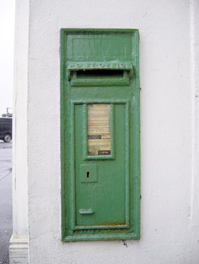 post boxpost box · 241 yd
 Dromkeen Bridgebridge · 556 yd
 CastleCastle, unclassified · 1020 yd
 Kilmoria Burial GroundBurial ground · 1241 yd
 Enclosure in WoodfarmEnclosure · 1520 yd
 Castle-erkin (Site of) partially hachuredCastle, unclassified · 1.8 mi
 KnockseefinMountain / peak · 1.9 mi
 Graveyard in AbingtonGraveyard · 3.7 mi
 St. Patrick's WellSpring · 3.9 mi
 Kilteely HillMountain / peak · 4.4 mi
 Sliev Felim WayVisitor information · 4.7 mi
 Flat cemetery in Knockainy WestFlat cemetery · 8.1 mi