What is recorded here
Fairy fort, County Limerick: two concentric banks and a narrow water-filled ditch still mark a 30m circular home or stronghold on the north edge of a hill slope. Cattle graze above it now, but the breaks in both banks point to one real entrance, and the outer bank has been swallowed into later field boundaries. The name may be legend, yet the shape is not vague: a small defensible place, built with stone and earth, left half-hidden under pasture.
In pasture, at N edge of break in N-facing hill slope. Circular area (30m N-S; 30.5m E-W) enclosed by two concentric earth-and-stone banks with intervening fosse (D 0.2m; Wth 2m). Inner bank (int. H 0.2m; ext. H 0.55m), best preserved along SE arc, has boulders dumped along top at ENE. Outer bank (ext. H 0.6m) survives SW->NE, and is incorporated into field boundary system SW->NW. Breaks in inner (Wth 3.6m) and outer (Wth 1m) banks at NNE. Fosse, best preserved and waterlogged SW->N, can only be tentatively traced SE->SW. Interior, under pasture, slopes down to W.
Compiled by: Denis Power
Date of upload: 26 August 2011
The monument record does not grant public access. Check the route and ask the landowner before entering private land.
- What survives
- Recorded monument
Places near here
 Enclosure in Ballywilliam SouthEnclosure · 1147 yd
 Dromard Housecountry house · 1229 yd
 Burial Gd.Graveyard · 1323 yd
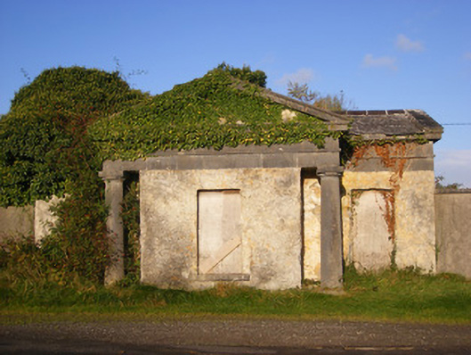 Ballywilliamgate lodge · 1.2 mi
 Bawn in Amogan MoreBawn · 1.6 mi
 Lissamota CastleCastle · 2.1 mi
 European ashEuropean ash · 2.4 mi
 LaghtpatrickSpring · 2.7 mi
 Flat cemetery in CroaghFlat cemetery · 3.2 mi
 Lady's WellSpring · 3.2 mi
 Flat cemetery in Kiltenan SouthFlat cemetery · 3.5 mi
 KnockfeerinaMountain / peak · 4.4 mi