What is recorded here
Muskerry West By. holds a two-metre earthen ring where beech trees still mark the boundary. The grassy centre dips slightly, preserving a small southern hollow that may have served people long before the convent arrived. Local tradition calls it a fairy fort, reminding humans that the land keeps its own claims.
In level pasture, 2km to NE of Millstreet, in grounds of Drishane Convent. Raised, roughly circular area (31m E-W; 28m N-S) enclosed by earthen bank (H 2m) with wide, shallow external fosse (max. D 0.6m) SW->NE. Bank planted with mature beech trees. Saucer-shaped, grass-covered interior; circular depression (diam. 3m; D 0.5m) inside bank to S.
The above description is derived from the published 'Archaeological Inventory of County Cork. Volume 3: Mid Cork' (Dublin: Stationery Office, 1997). In certain instances the entries have been revised and updated in the light of recent research.
Date of upload/revision: 14 January 2009
The monument record does not grant public access. Check the route and ask the landowner before entering private land.
- What survives
- Recorded monument
Places near here
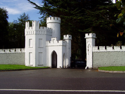 Drishane Castlegate lodge · 252 yd
 Grave YardGraveyard · 316 yd
 Castle and TurretCastle, tower house · 439 yd
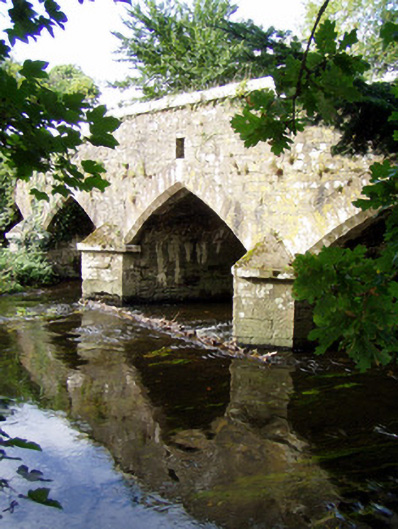 Wallis's Bridgebridge · 673 yd
 Dromsicane Castle (in Ruins)Bawn · 1.1 mi
 Millstreet Tourist InformationVisitor information · 1.3 mi
 St. Patrick's ChurchVisitor information · 1.3 mi
 Millstreet Museum & Tourist Information CentreMuseum · 1.4 mi
 RowanRowan · 2.1 mi
 Claragh MountainMountain / peak · 2.7 mi
 Rathcool WoodWood · 2.9 mi