What is recorded here
Situated in rough pasture, on a SSW-facing slope of a high ridge, on an isthmus between Lough Drin and Brittas Lough. Depicted on the 1837 ed. OS 6-inch map as an oval-shaped earthwork (approx. dims. 74m NE-SW; 67m NW-SE). Depicted on the revised 1913 ed. OS 25-inch map as a modified roughly oval-shaped earthwork.
Monument described in 1970 as the site of an oval-shaped ringfort that has been completely defaced by the construction of later field banks and quarrying. The perimeter cannot be traced on the ground with any reasonable degree of certainty. A long rectangular-shaped house site (WM019-014001-) is located within the interior. Reports from local tradition of a possible ogham-stone beside the fort on the 400’ OD overlooking the NE shore of Lough Drin, proved to be misleading, as the stone which has become in tradition ‘Crow’s Feet’, has been moved to below a large oak tree here, when the fort was levelled, and is held in high esteem. It is an OS Datum Point [sappers mark symbol] and is incised on hard Silurian shale (ASI Field Report 24/04/1981). Levelled monument is visible today as a large oval-shaped cropmark of differential growth on Digital Globe aerial photography.
Compiled by: Alison McQueen, Vera Rahilly and Caimin O’Brien
Date of upload: 18 February 2019
The monument record does not grant public access. Check the route and ask the landowner before entering private land.
- What survives
- Recorded monument
Places near here
 IndicatedFairy fort / earthen ringfort · 1328 yd
 Crannog in Culleen BegCrannog · 1529 yd
 Knockdrin Castlegate lodge · 1713 yd
 Site of CastleCastle, unclassified · 1.2 mi
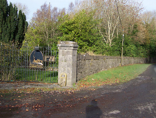 Ballynagalldemesne walls/gates/railings · 1.2 mi
 Long PlantingForest · 1.3 mi
 Saint Brigid's WellSpring · 2.2 mi
 United Nations War MemorialMemorial · 2.5 mi
 Scragh Bog Nature ReserveNature reserve · 2.7 mi
 Church IslandIsland · 2.9 mi
 CastlemitchelCastle, unclassified · 3.0 mi
 Srudarra IslandIslet · 3.5 mi