What is recorded here
A vast hidden chamber may still lie beneath the level pasture in Drehid, waiting for someone brave enough to dig. The earthen bank and outer ditch mark the entrance to that forgotten space, while the broad bog beyond watches the confluence of the Kilcooney and Fear English rivers. What was built there has been erased by time, but the shape of the hole remains, inviting curiosity and caution in equal measure.
At the top of a very long and gentle S-facing tillage slope c. 100m SW of the confluence of the E-flowing Kilcooney River with the N-flowing Fear English River, with a vast expanse of bog beyond to the E. An oval area (ext. diams. 43m N-S; 24m E-W) is defined by a low, grass-covered, inner earthen bank (Wth 4.3-5.4m; int H 0.4m; ext. H 0.9m) NNW-NE-SE, which has been reduced to a scarp (H 0.9m) elsewhere, and by an outer fosse (Wth 3m; D 0.4m) which is only visible NNW-E-SE and into which field-cleared stones have been dumped. In 1972, an entrance was noted at the S which is no longer visible, and the interior of the monument was uneven and undulating, with a depression running along the inside of the inner bank interpreted as possibly indicating a Man-made underground passage (KD008-011002-), (SMR file). The interior is now level pasture.
Compiled by: Gearóid Conroy
Date of upload: 10 June 2011
The monument record does not grant public access. Check the route and ask the landowner before entering private land.
- What survives
- Recorded monument
Places near here
 EnclosureEnclosure, large enclosure · 1427 yd
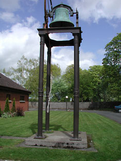 Catholic Church of the Holy Familybell tower/stand · 1596 yd
 Church FieldChurch · 1.4 mi
 Enclosure in Kilmurry (donadea Ed)Enclosure · 1.6 mi
 Castle in RuinsCastle, tower house · 2.0 mi
 Site of CastleCastle, tower house · 2.1 mi
 Horse-chestnutHorse-chestnut · 3.8 mi
 The Grill ShackHeritage attraction · 4.0 mi
 European ashEuropean ash · 4.9 mi
 Cloncurry GraveyardHeritage attraction · 4.9 mi
 Croppies' GraveMemorial · 6.6 mi
 Grand Canal WayVisitor information · 7.6 mi