What is recorded here
Situated on an undulating landscape c. 100m NE of the concentric enclosure (ME020-075----). A remote sensing survey (12R0080 ext.) conducted during 2014 recorded the southwest portion of a bivallate enclosure. This consists of at least two ditch circuits that are closely spaced (ext. dims c. 40m NNW-SSE; c. 30m ENE-WSW) and are evident S-NW, with elements of an associated field system to the west and southwest. The ditches are strongly magnetic, indicative of possible burning. The remainder of the enclosure extends beneath an 18th century tree plantation on the NE side. (Ní Lionáin and Davis 2016, 159)
Compiled by: Michael Moore
Date of upload; 9 December, 2016
The monument record does not grant public access. Check the route and ask the landowner before entering private land.
- What survives
- Recorded monument
Places near here
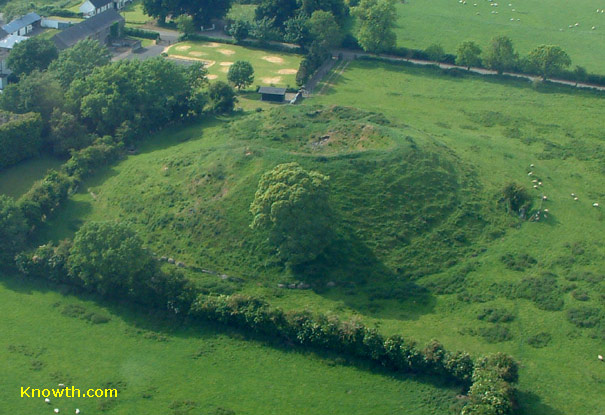 Concentric enclosure in DowthConcentric enclosure · 182 yd
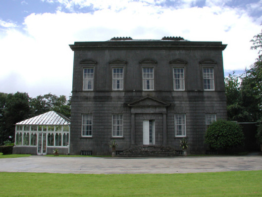 Dowth Hallcountry house · 438 yd
 Glenmore ForestWood · 691 yd
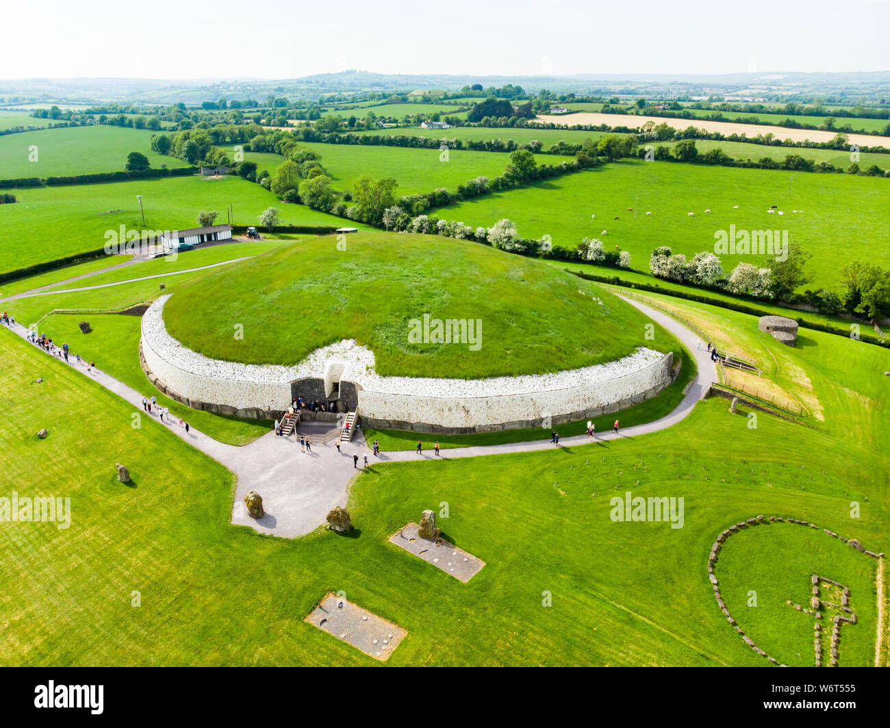 Enclosure in StalleenEnclosure · 696 yd
 Dowth CastleCastle, tower house · 789 yd
 Church (in Ruins)Church · 829 yd
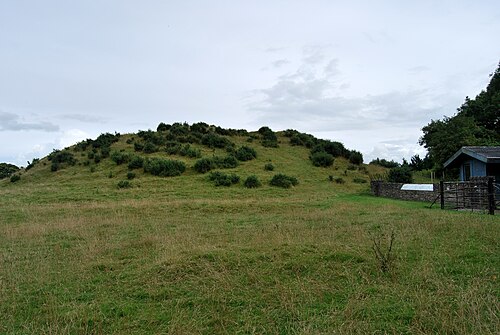 DowthNeolithic passage tomb · 946 yd
 Brú na Bóinne Visitor Centre AccessHeritage attraction · 1244 yd
 Brú na Bóinne Visitors CentreVisitor information · 1467 yd
 Proudfootstown CastleCastle, unclassified · 1524 yd
 European YewEuropean Yew · 1.4 mi
 Battle of the BoyneMajor battlefield · 1.5 mi