What is recorded here
Fairy fort in Downeen, County Cork: a 20-by-22m earthen ring on a west-facing slope, its bank still standing ninety centimetres high beside a field fence that cuts through the top. People may have lived there, or excluded others from it; the shape suggests boundary, memory and claim.
In pasture, on W-facing slope. Circular area (20m N-S; 22m E-W) enclosed by earthen bank (H 0.9m;) to E and S; scarp to W. Field fence running E-W truncates N edge of interior.
The above description is derived from the published 'Archaeological Inventory of County Cork. Volume 1: West Cork' (Dublin: Stationery Office, 1992). In certain instances the entries have been revised and updated in the light of recent research.
Date of upload/revision: 14 January 2009
The monument record does not grant public access. Check the route and ask the landowner before entering private land.
- What survives
- Recorded monument
Places near here
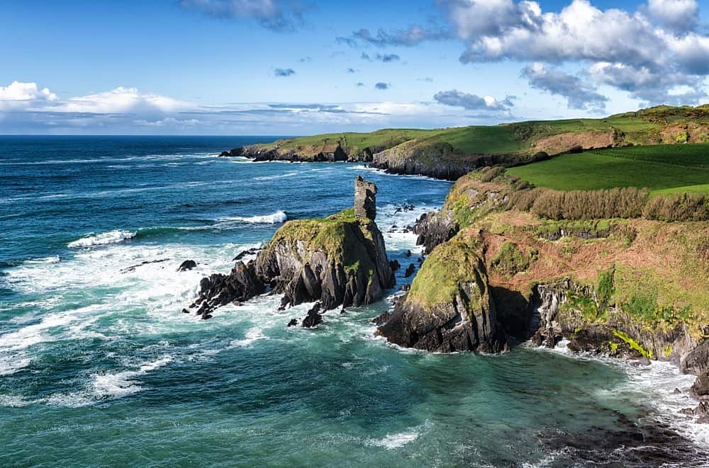 IndicatedEnclosure · 152 yd
 Lookout over MillcoveViewpoint · 614 yd
 Trá an tAonaighBeach / strand · 1111 yd
 Coppingers Courtcastle/fortified house · 1222 yd
 Indicated (not named)Building · 1679 yd
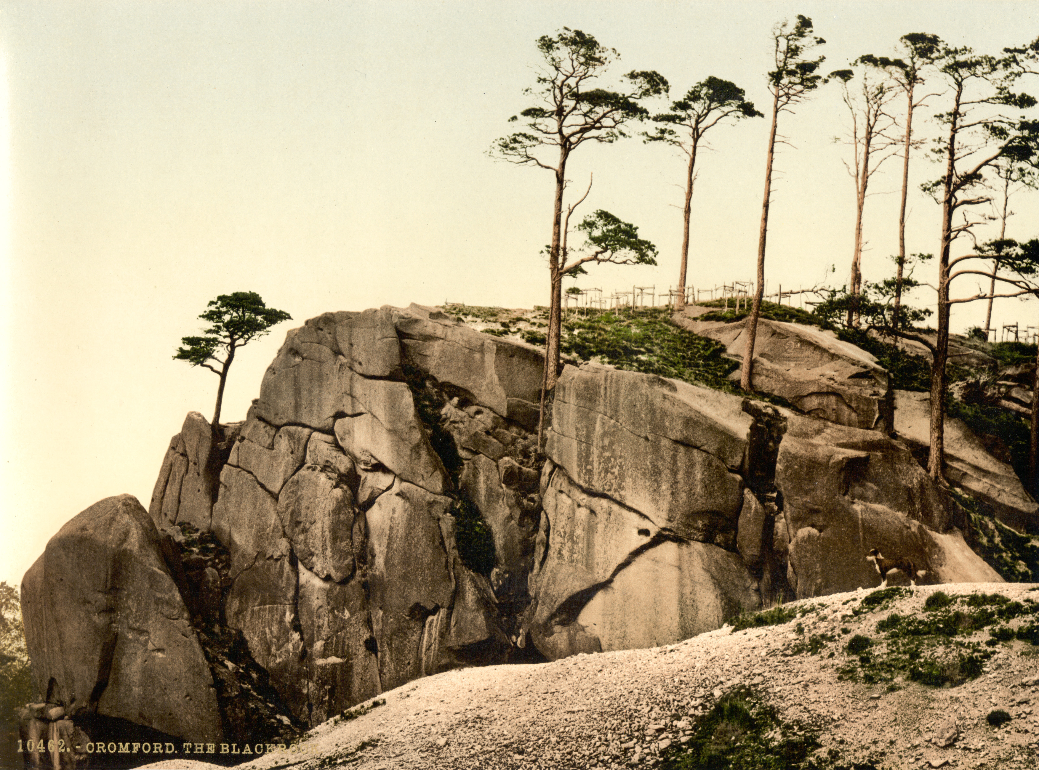 The Black RocksIslet · 1688 yd
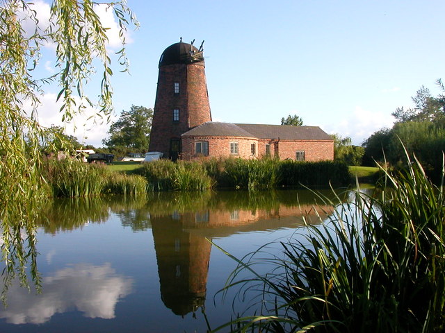 Roury Mill (Corn)Milling complex · 1.1 mi
 Pol a Dabh West (Blowhole)Viewpoint · 1.1 mi
 Drombeg Stone CircleArchaeological place · 1.3 mi
 Downeen Castle (in Ruins)Castle, tower house · 1.4 mi
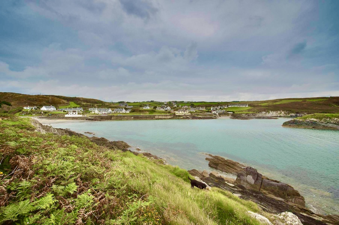 Faill na SeabhachCliff · 1.6 mi
 The Warren DunesNature reserve · 1.7 mi