What is recorded here
Fairy fort / earthen ringfort in Doorly is a fairy fort or earthen ringfort in Doorly, County Sligo, Ireland. The circular area has a 29m internal diameter and is enclosed by two earthen banks with a fosse between them. The inner bank is evident all round, while the outer bank is best preserved along the southern arc. Quarrying widened the southwestern fosse, and a possible entrance appears through the inner bank at the southeast.
In undulating pasture, on top of a ridge, and within a small field. A circular area (int. diam. 29m) enclosed by two earthen banks and an intervening fosse. The inner bank (Wth 3m; int. H 0.8m; ext. H 2.2m) is evident all round. The intervening fosse has been widened (Wth 4m; D 1.2m) due to quarrying along the SW arc. The outer bank (Wth 3m; int. H 1.4m; ext. H 1m) is best preserved along the S arc and is mostly levelled elsewhere. There is a possible entrance (Wth 1m) through the inner bank at SE with a corresponding ramped causeway across the fosse. The OS 6-inch maps show that the rath was enclosed by field boundaries between 1838 and 1913. Recorded in 1836 as 'Doorly Fort' (OSNB vol. 2, 229).
The above description is derived from the published 'Archaeological Inventory of County Sligo' compiled by Ursula Egan, Elizabeth Byrne, Mary Sleeman with Sheila Ronan and Connie Murphy (Dublin Stationery Office, 2005).
Date of upload: 18 January 2008
The monument record does not grant public access. Check the route and ask the landowner before entering private land.
- What survives
- Recorded monument
Places near here
 Indicated (1838).Fairy fort / earthen ringfort · 596 yd
 Lisconny Bridgebridge · 703 yd
 LisconnyFairy fort / earthen ringfort · 1112 yd
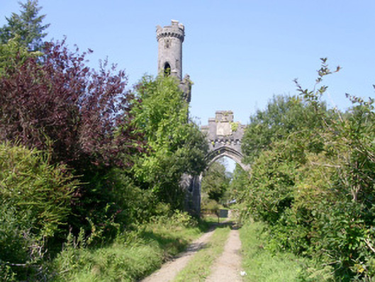 Markree Castlegate lodge · 1198 yd
 James MorrisonMemorial · 1.4 mi
 Castle (Site of)Castle, unclassified · 1.6 mi
 Field MapleField Maple · 1.7 mi
 Behy Castle (in Ruins)Castle, tower house · 2.6 mi
 Riverstown Folk ParkHeritage attraction · 3.3 mi
 Giants GraveArchaeological place · 3.7 mi
 CroaghaunMountain / peak · 4.7 mi
 Tullaghan HillMountain / peak · 5.1 mi