What is recorded here
No visible evidence of the site survives on the ground today.
In pasture, on gentle N-facing slope. Monument, depicted as circular enclosure (diam. c. 35m) on 1841 OS 6-inch map, has been levelled. However, a scarped edge (H 0.45m; Wth 5.2m) survives NW->NE. Otherwise site is level and under pasture.
Compiled by: Denis Power
Date of upload: 26 August 2011
The monument record does not grant public access. Check the route and ask the landowner before entering private land.
- What survives
- Recorded monument
Places near here
 Enclosure in Kilmore DemesneEnclosure · 540 yd
 Kilmore Housecountry house · 818 yd
 Burial Gd. for ChildrenChildren's burial ground · 1007 yd
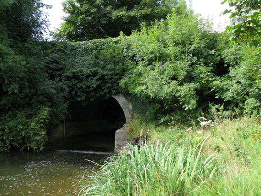 bridgebridge · 1098 yd
 Kilmacow Ho.Bawn · 2.2 mi
 KnockfeerinaMountain / peak · 2.3 mi
 CastleCastle, unclassified · 2.4 mi
 Famine stoneMemorial · 2.9 mi
 Kinnoor WellSpring · 3.0 mi
 European ashEuropean ash · 3.6 mi
 Dysert AenghusaHeritage attraction · 3.6 mi
 Biodiversity in the Maigue CatchmentVisitor information · 3.9 mi