What is recorded here
Fairy fort in Dooradoyle: a sub-rectangular earthen ringfort, about 26m by 20m, now hidden beneath trees and concrete paths in a housing estate. Its bank survives best to the east, but people have cut it open for slabs and walls, turning an old boundary into a garden trap. The fairies may have fled the concrete, or they may be waiting for the humans to stop measuring and leave the ring alone.
Situated in the centre of a housing estate. The monument is heavily masked by vegetation overgrowth. The monument is depicted on the 1924 OS 6-inch map as a sub-rectangular enclosure incorporated into a field boundary to W. The remains consist of a sub-rectangular area (diam. c. 26m N-S by c. 20m E-W) enclosed by a poorly preserved bank (int. H 0.25m; ext. H. 0.85m Wth. 1.6m) from NNW to SSW. The bank is best preserved to E. The bank has been revetted externally with concrete slabs to N and has been breached to NE and S to facilitate a concrete-slab path. A mortared stone wall (H 1m) truncates the enclosure from WNW to WSW. To the NW the bank survives 5m W of the mortared stone wall. The interior is uneven and is strewn with fallen deciduous trees.
Compiled by: Denis Power
Date of upload: 28 February 2013
The monument record does not grant public access. Check the route and ask the landowner before entering private land.
- What survives
- Recorded monument
Places near here
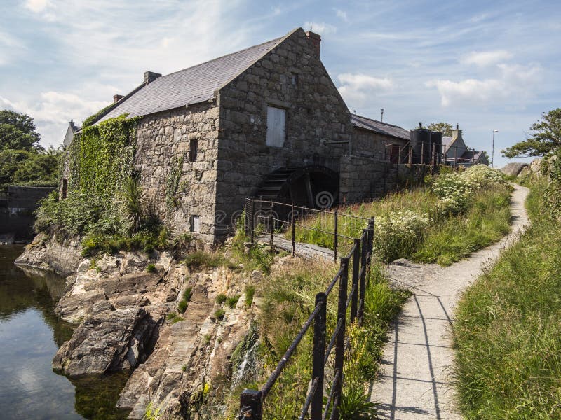 Shanwillen Old MillMill, unclassified · 332 yd
 Saint Theresa'shouse · 897 yd
 Enclosure in DooradoyleEnclosure · 1222 yd
 Riverine revetment in Ballinacurra (hart),ballykeeffeRiverine revetment · 1249 yd
 CastleCastle, unclassified · 1.4 mi
 Limerick Seamen's MemorialMemorial · 2.1 mi
 Castle FieldCastle, unclassified · 2.4 mi
 Fountain SculptureHeritage attraction · 4.2 mi
 Visitor CentreVisitor information · 4.2 mi
 Campus MapVisitor information · 4.3 mi
 Sailors HaggardMemorial · 4.4 mi
 Cratloe WoodsForest · 6.1 mi