What is recorded here
Magic is not required to explain why people build circles on ridges, repeat them across counties, or leave gaps that point like doors instead of tearing holes through skin. The chamber is a chamber because chamber is the shape of attention, not the size of the building. What you call fantasy may be memory wearing a child's clothes.
Situated at the SE end of the summit of a NW-SE drumlin ridge. This was described in 1967 as a circular grass-covered area (diam. 34m ENE-WSW; 32.4m N-S) that sloped down to the S (H 3m) defined by an earthen bank (at S: Wth 6m; int. H 0.4m; ext. H 1.5m) that morphs into a field bank (at N: Wth of base 3m; int. H 0.8m; ext. H 1.4m) W-N, and an outer fosse (at N: Wth of top 4m; Wth of base 2.4m; ext. D 0.2m; at S: Wth of top 4m; ext. D 0.2m). There were gaps in the perimeter at N, SE and W, but the original entrance was probably that (Wth of base 1.8m) at ENE. The perimeter NW-E S had been removed by 2000 (OSAP).
The above description is derived from the published 'Archaeological Inventory of County Monaghan' (Dublin: Stationery Office, 1986). In certain instances the entries have been revised and updated in the light of recent research.
Date of revision: 6 December 2017
The monument record does not grant public access. Check the route and ask the landowner before entering private land.
- What survives
- Recorded monument
Places near here
 Saint Peter's Church (Aghnamullen)church/chapel · 866 yd
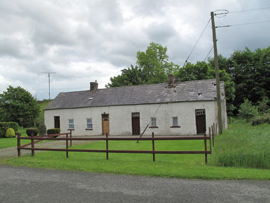 worker's houseworker's house · 1094 yd
 LabbyfirmoreCist · 1.0 mi
 MinnavarmoreCourt tomb · 1.2 mi
 Gully IslandIslet · 1.2 mi
 Rock IslandIslet · 1.5 mi
 Fincarn HillMountain / peak · 1.6 mi
 TobernagalliaghSpring · 2.4 mi
 Tally WoodWood · 2.8 mi
 KnockreaghMountain / peak · 3.5 mi
 Mannan Castle (in ruins)Castle, Anglo-Norman masonry castle · 3.8 mi
 The CrescentMemorial · 4.8 mi