What is recorded here
Situated on E facing slope of a hill with wide views of the surrounding countryside from N-E-S. Ringfort (WM015-006---) 150m to N, ringfort (WM015-008---) 100m to SW. A circular-shaped area (approx. diam. 26m NW-SE) enclosed by a wide low bank of earth and stone with a shallow external fosse that is visible only at W and N. There is an entrance gap in the inner bank at E. The interior slopes appreciably from W-E. Field fences intersect the monument at N, E, S and W.
See attached profile of monument surveyed and drawn by the ASI.
Compiled by: Frank Coyne and Caimin O'Brien
Date of upload: 5 September 2018
The monument record does not grant public access. Check the route and ask the landowner before entering private land.
- What survives
- Recorded monument
Places near here
 OutlinedEnclosure · 424 yd
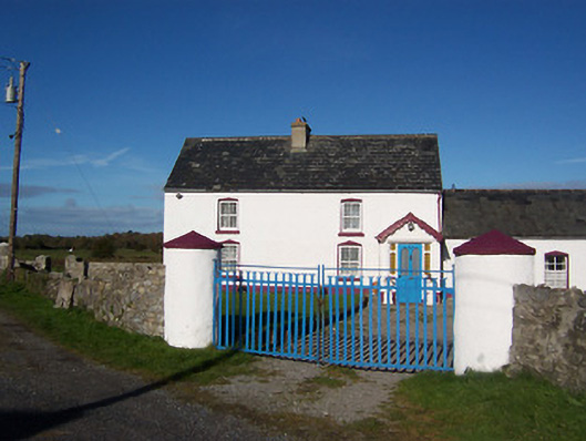 farm housefarm house · 777 yd
 RIC barracksRIC barracks · 874 yd
 IndicatedFairy fort / earthen ringfort · 1028 yd
 Bawn in Cannorstown (hogan)Bawn · 1673 yd
 Ballynacliffy CastleCastle · 1.2 mi
 Leveret IslandIslet · 2.3 mi
 Noughaval CemeteryArchaeological place · 2.8 mi
 European BeechEuropean Beech · 3.0 mi
 InchbofinIslet · 3.1 mi
 Portlick Millennium ForestWood · 3.8 mi
 Traveen BayBay · 4.2 mi