What is recorded here
Fairy fort / earthen ringfort in Doongelagh is a fairy fort or earthen ringfort in Doongelagh, County Sligo, Ireland. The embanked circular area measures about twenty metres across and has a possible entrance at the southwest. Dense coniferous overgrowth now hides the site from view. Local people still call it a fort, though they cannot reach it through the trees.
In a coniferous forest. Indicated on the 1914 OS 6-inch map as an embanked circular area (diam. c. 20m) with a possible entrance at the SW. Locally known as a 'fort' but inaccessible due to the dense overgrowth.
The above description is derived from the published 'Archaeological Inventory of County Sligo' compiled by Ursula Egan, Elizabeth Byrne, Mary Sleeman with Sheila Ronan and Connie Murphy (Dublin Stationery Office, 2005).
Date of upload: 18 January 2008
A fairy fort or earthen ringfort in Doongelagh, likely dating to the early medieval period, is marked on the 1914 Ordnance Survey map as a circular embanked enclosure about 20 meters in diameter. Locally known as a 'fort,' it is associated with folklore surrounding fairy realms and is now largely obscured by coniferous forest growth.
The monument record does not grant public access. Check the route and ask the landowner before entering private land.
- What survives
- Recorded monument
Places near here
 Sweathouse in DrumshinnaghSweathouse · 611 yd
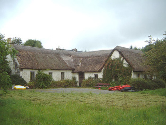 Nasool Cottagehouse · 802 yd
 Sweat Ho. (1838).Sweathouse · 841 yd
 Penitential station in CoollemoneenPenitential station · 1.1 mi
 Barroe NorthMountain / peak · 1.9 mi
 Ballindoon Castle (in Ruins)Castle, unclassified · 2.2 mi
 CastleCastle, motte and bailey · 2.3 mi
 Annaghgowla IslandIslet · 2.4 mi
 InishmoreIslet · 2.6 mi
 Riverstown Folk ParkHeritage attraction · 3.0 mi
 Geevagh Prisoners 1908 MemorialMemorial · 3.4 mi
 Loughbrick BayBay · 3.5 mi