What is recorded here
Fairy forts in Dooneens are earthen rings, not fantasy. This one stood twenty-six metres across on a SW-facing slope until Dan O'Sullivan knocked it in 1855. A sharp scarp still marks the western edge, while a modern drain cuts through the buried eastern bank. The lost ring may have hidden a passage, but soil and forgetting have closed that door.
In pasture, on SW-facing slope just below crest of hill. Depicted on 1842 OS 6-inch map as hachured circular enclosure (diam. c. 26m). According to Broker (1937,48) 'knocked by Dan O'Sullivan 1855'. Arc, formed by scarp (H 1.1m) with slight internal lip, survives SW->WNW; low rise marks line of levelled bank to N and E. Modern drain dug outside scarp. possible Man-made underground passage (9019) in interior.
The above description is derived from the published 'Archaeological Inventory of County Cork. Volume 3: Mid Cork' (Dublin: Stationery Office, 1997). In certain instances the entries have been revised and updated in the light of recent research.
Date of upload/revision: 14 January 2009
The monument record does not grant public access. Check the route and ask the landowner before entering private land.
- What survives
- Recorded monument
Places near here
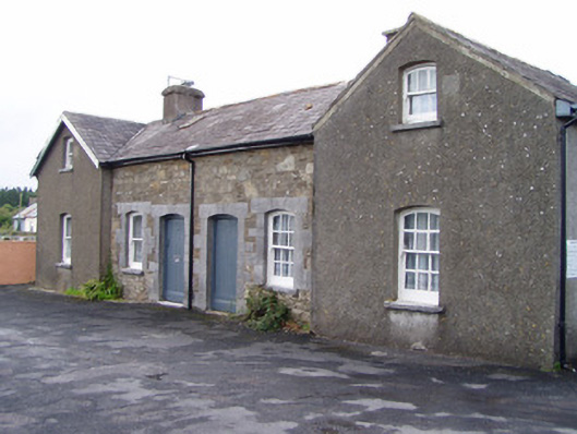 Millstreet Railway Stationworker's house · 553 yd
 Dromsicane Castle (in Ruins)Bawn · 891 yd
 Fulacht FiadhFulacht fia · 980 yd
 Church (Site of)Church · 1374 yd
 Castle and TurretCastle, tower house · 1.2 mi
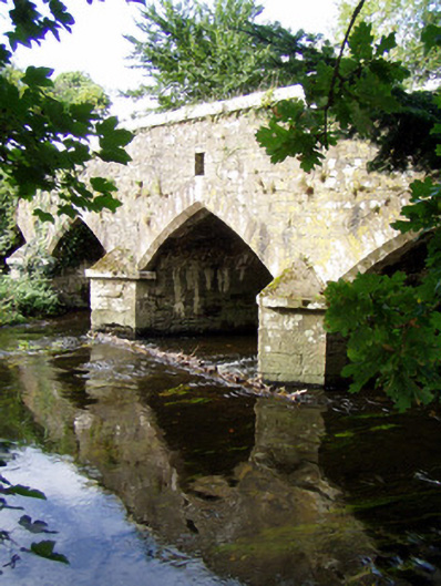 Wallis's Bridgebridge · 1.2 mi
 Millstreet Museum & Tourist Information CentreMuseum · 1.5 mi
 Millstreet Tourist InformationVisitor information · 1.5 mi
 Claragh Loop (Trailhead 99)Visitor information · 1.5 mi
 RowanRowan · 2.4 mi
 Claragh MountainMountain / peak · 2.4 mi
 CurracahillMountain / peak · 4.0 mi