What is recorded here
Dooncaha holds a broken ring where a road cut through ancient pasture. The earthen bank still rises two metres on the outside, though grass and thorns have smothered much of its shape. A wide gap faces west, inviting entry into a level green space that may have housed people, gods, or both. The fort is no longer whole, but it has not stopped being a place where boundaries were drawn and remembered.
In pasture, on gentle NW-facing slope. Monument, depicted on 1841 OS 6-inch map as circular enclosure, has been truncated by public road at S end leaving D-shaped area (16.2m N-S; 23.6m E-W) enclosed by earthen bank W->ESE and by field boundary running alongside road ESE->WSW. Bank (int. H 0.3m; ext. H 1.9m) is heavily masked by vegetation overgrowth. Gap in bank (Wth 5.2m) at WSW. Level interior under rough pasture.
Compiled by: Denis Power
Date of upload: 26 August 2011
The monument record does not grant public access. Check the route and ask the landowner before entering private land.
- What survives
- Recorded monument
Places near here
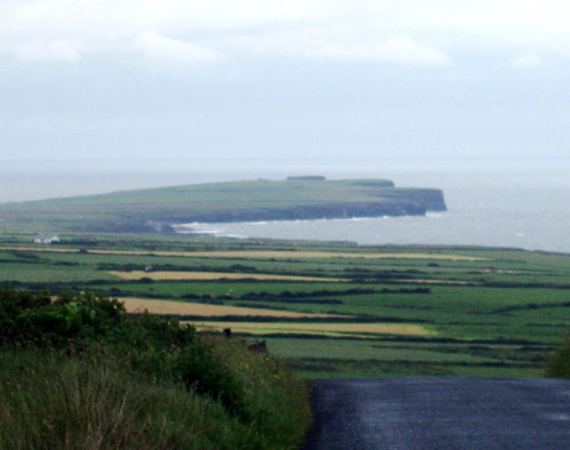 Mound in DooncahaMound · 485 yd
 Slab-lined burial in MoigSlab-lined burial · 541 yd
 Shanid Househouse · 1301 yd
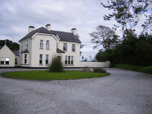 The Presbyteryhouse, presbytery/parochial/curate's house · 1488 yd
 Shanid CastleCastle · 1759 yd
 Shanid Castle (in ruins)Castle, Anglo-Norman masonry castle · 1.0 mi
 St. Luke's WellSpring · 3.2 mi
 St. Kieran's WellSpring · 4.4 mi
 Foynes Flying Boat & Maritime MuseumMuseum · 4.6 mi
 Foynes Island ViewpointViewpoint · 4.7 mi
 Monterey CypressMonterey Cypress · 4.8 mi
 Gammarel PointHeadland · 5.0 mi