What is recorded here
Doonakenna held a thirty-metre earthen ringfort before ploughs and greed erased its shape. The earth was cast onto the southern boundary, creating a rough berm that still marks where the fort stood. Inside, stones and gorse occupy the space where human hands once shaped a defensible home. The land keeps the memory even when the visible structure disappears.
In gently undulating pasture. Monument, depicted as embanked circular enclosure (diam. c. 30m) on 1923 OS 6-inch map, has been levelled. Dumped material, evident along field boundary which abutted enclosure on SE side, probably derives from bank. Faint depression, with concentration of stones along its inner edge, may mark line of fosse (diam. c. 30m). Interior now uneven and stony, and overgrown by gorse and scrub on S side.
Compiled by: Denis Power
Date of upload: 26 August 2011
The monument record does not grant public access. Check the route and ask the landowner before entering private land.
- What survives
- Recorded monument
Places near here
 BarrowBarrow, ring-barrow · 1704 yd
 TobereenalaffinaSpring · 1731 yd
 Sugar HillMountain / peak · 1.4 mi
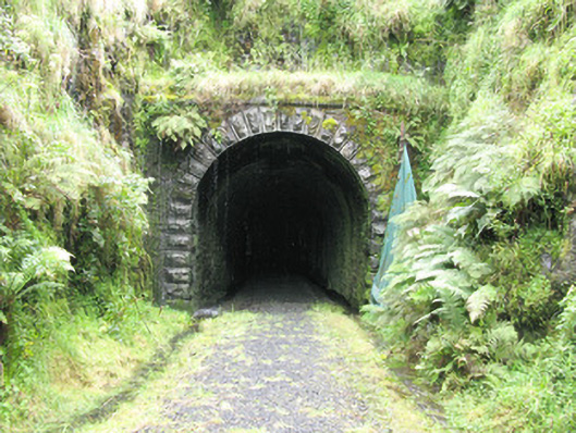 tunneltunnel · 1.4 mi
 Enclosure in Garryduff (glenquin By., Garryduff Ed)Enclosure · 1.4 mi
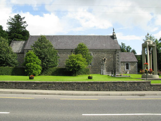 Catholic Church of the Holy Trinitychurch/chapel · 1.6 mi
 Barnagh HillMountain / peak · 2.5 mi
 Limerick GreenwayWalking route · 2.8 mi
 Glenquin CastleCastle · 3.5 mi
 Dotted outlineBawn · 4.6 mi
 Saint Ite's WellSpring · 4.7 mi
 Lawson's CypressLawson's Cypress · 5.8 mi