What is recorded here
Doonakenna held two embanked rings, one twenty-five metres across and a smaller companion abutting its south side. Both disappeared under the plough, erasing the chance to test whether they housed people, gods, or both. The land keeps its own counsel, withholding what it wants hidden.
In pasture, on gentle S-facing slope. Monument, depicted as embanked circular enclosure (diam. c. 25m) on 1923 OS 6-inch map, has been levelled. Map also shows smaller enclosure (LI035-00902-) abutting it on S side- this also now levelled.
Compiled by: Denis Power
Date of upload: 26 August 2011
The monument record does not grant public access. Check the route and ask the landowner before entering private land.
- What survives
- Recorded monument
Places near here
 TobereenalaffinaSpring · 1.0 mi
 BarrowBarrow, ring-barrow · 1.1 mi
 Sugar HillMountain / peak · 1.3 mi
 Enclosure in Garryduff (glenquin By., Garryduff Ed)Enclosure · 1.4 mi
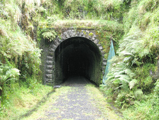 tunneltunnel · 1.5 mi
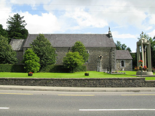 Catholic Church of the Holy Trinitychurch/chapel · 1.6 mi
 Barnagh HillMountain / peak · 2.6 mi
 Limerick GreenwayWalking route · 2.8 mi
 Glenquin CastleCastle · 3.6 mi
 Dotted outlineBawn · 4.8 mi
 Saint Ite's WellSpring · 4.9 mi
 Lawson's CypressLawson's Cypress · 5.7 mi