What is recorded here
Doon Demesne holds an oval earth platform where a ridge ends, using a steep scarp and partial ditch instead of a built wall. People may have shaped the edge of natural ground into a defensible home, leaving the rest to the slope. The fort still touches the sky like a broken bowl, waiting for footsteps that time has erased.
Situated at the end of an esker ridge running in an East - West direction in undulating countryside. Oval shaped platform(E-W diam. 33m; N-S diam. 26m) defined by a
scarp (avg. H. 2m) which varies considerably in height from place to place with an
outer fosse(Wth 2m) evident at East only with possible ramped entrance at N.E.
This site is an example of the end of an esker being scarped at one end and the natural slope forming the platform on all other sides (English 1972, 249).
The above description is derived from the published 'Archaeological Inventory of County Offaly' (Dublin: Stationery Office, 1997). In certain instances the entries have been revised and updated in the light of recent research.
Date of upload: 23 May 2011
The monument record does not grant public access. Check the route and ask the landowner before entering private land.
- What survives
- Recorded monument
Places near here
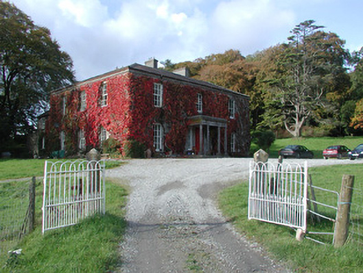 The Dooncountry house · 192 yd
 Esker CastleCastle, tower house · 378 yd
 Bawn in Lackagh MoreBawn · 499 yd
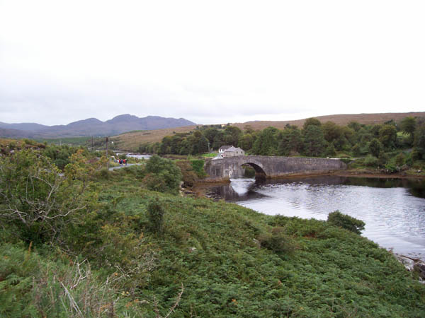 IndicatedFairy fort / earthen ringfort · 638 yd
 Cave HillFairy fort / earthen ringfort · 680 yd
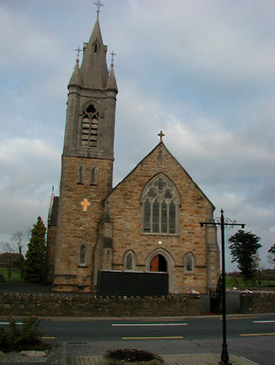 Saint Colmcille's Catholic Churchchurch/chapel · 1.3 mi
 European ashEuropean ash · 1.7 mi
 Endrim HillMountain / peak · 2.7 mi
 Ballylin Bog BoardwalkHeritage attraction · 4.0 mi
 Saint Reaghan's WellSpring · 4.5 mi
 Long IslandIsland · 4.5 mi
 Dún na SíMuseum · 5.8 mi