What is recorded here
Mortons and Doolargy both belong to the same townland, but Neartus Mortons is the exact place name and Doolargy is the wider area. It is better to ask for Neartus Mortons than to repeat a name that points to two different things.
The following description is derived from both the published 'Archaeological Inventory of County Louth' (Dublin: Stationery Office, 1986) and the 'Archaeological Survey of County Louth' (Dublin: Stationery Office, 1991). In certain instances the entries have been revised and updated in the light of recent research.
Date of upload/revision: 17 July 2007
Sub-circular area (int. dims. 24m N-S, 33m E-W) enclosed by degraded earth and boulder bank (Wth 4m, H 1.9m internally at E, 0.2m externally). No visible trace of fosse or entrance. Adjoining bank at NW of interior is an oval hut platform (LH004-049002-).
This remains an important historical record, but the official description says the monument is no longer visible or has been destroyed. The monument record does not grant public access. Check the route and ask the landowner before entering private land.
- What survives
- No visible remains or recorded as destroyed
Places near here
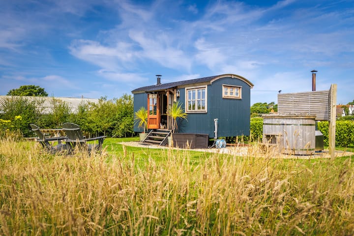 Hut site in DoolargyHut site · 1 yd
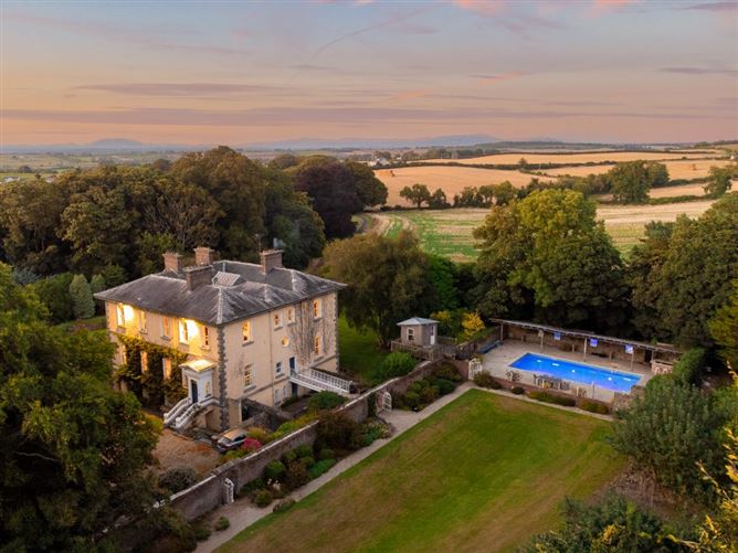 Enclosure in DoolargyEnclosure · 456 yd
 Caraban Househouse · 708 yd
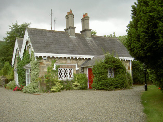 schoolschool · 721 yd
 The Ben RockMountain / peak · 1.1 mi
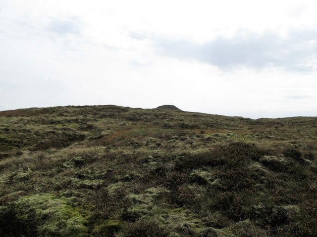 CarnavaddyMountain / peak · 1.1 mi
 Proleek DolmenArchaeological place · 1.5 mi
 Ravensdale LoopWalking route · 1.8 mi
 Ravensdale ForestForest · 1.9 mi
 CastleCastle, tower house · 2.1 mi
 KILNASAGGART INSCRIBED PILLAR STONE & CEMETERY with 6 CROSS-CARVED STONES: CELL NA SACART in EdenappaKILNASAGGART INSCRIBED PILLAR STONE & CEMETERY with 6 CROSS-CARVED STONES: CELL NA SACART · 2.4 mi
 Battle of FaughartMajor battlefield · 2.5 mi