What is recorded here
Doocatteen holds a true ringfort and a larger waterlogged basin beside it, both buried under marshy pasture where cattle still break the surface. The fort measures nineteen by twenty-one metres with a scarped edge one metre high, while the depression reaches thirty-nine metres across and drops a metre and a half below the grass. Humans may have lived inside the smaller circle before the land softened around them, but the name Fairy fort suggests people also saw the place as belonging to something else.
In undulating pasture. Circular area (19.2m N-S: 21.3m E-W) defined by scarped edge (H 1.25m; Wth 1.45m). Interior level, under marshy pasture and heavily poached by cattle, with some overgrowth along edges. Located 12m to NW is waterlogged circular depression (36.4m N-S; 39.2m E-W; D 1.45m).
Compiled by: Denis Power
Date of upload: 26 August 2011
The monument record does not grant public access. Check the route and ask the landowner before entering private land.
- What survives
- Recorded monument
Places near here
 IndicatedFairy fort / earthen ringfort · 1138 yd
 Churchtown Housecountry house · 1181 yd
 Dooally Bridgebridge · 1537 yd
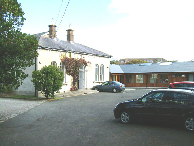 Enclosure in ChurchtownEnclosure · 1591 yd
 Templars Castle (in ruins)Castle, Anglo-Norman masonry castle · 1.7 mi
 Limerick GreenwayWalking route · 2.8 mi
 CahermoyleCastle, unclassified · 2.8 mi
 St. Luke's WellSpring · 3.1 mi
 St. Kieran's WellSpring · 4.3 mi
 Sugar HillMountain / peak · 4.3 mi
 Ballagh MountainMountain / peak · 7.3 mi
 Lawson's CypressLawson's Cypress · 8.1 mi