What is recorded here
Doocarrick holds a thirty-foot clay ring where human hands shaped the earth long before modern roads cut through its memory. The bank still stands though soil and traffic have worn away much of the ditch, leaving only a faint southern trace of the boundary that once enclosed the site. People may have lived, hidden or worshipped inside that circle, but the earth keeps that part of the story unfinished.
Raised circular area (int. diam. 30.4m) enclosed by a substantial, although partly denuded, earthen bank and a fosse. Only a short segment of the fosse at SE is now identifiable. Elsewhere it has been infilled and replaced by a modern trackway. An earlier report (OPW 1969) suggested that the original entrance may have been at NNE.
The above description is derived from the published 'Archaeological Inventory of County Cavan' (Dublin: Stationery Office, 1995). In certain instances the entries have been revised and updated in the light of recent research.
Date of upload/revision: 22 December 2008
The monument record does not grant public access. Check the route and ask the landowner before entering private land.
- What survives
- Recorded monument
Places near here
 IndicatedFairy fort / earthen ringfort · 603 yd
 Bawn in DrumsheilBawn · 1191 yd
 BarraghMountain / peak · 1363 yd
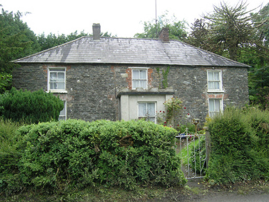 Mountain Viewhouse · 1636 yd
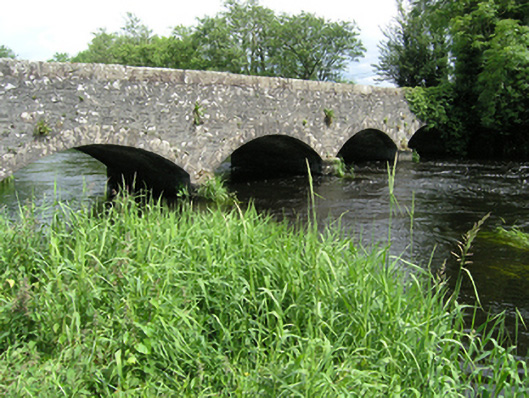 Killycreeny Bridgebridge · 1.0 mi
 DernaskeaghMountain / peak · 1.1 mi
 Drummury FortArchaeological place · 1.2 mi
 McCullagh's PlantationWood · 1.5 mi
 Church WoodForest · 1.5 mi
 Embanked enclosureBawn · 1.5 mi
 Giant's GraveArchaeological place · 2.2 mi
 Graveyard in Drumgoon (clankee By.)Graveyard · 5.3 mi