What is recorded here
Fairy fort in Dooally is a level circular earthwork in County Limerick, with a scarped edge, outer fosse, and a narrow east-south-east gap. It is the kind of place where people may have lived, hidden, or simply stopped believing they understood the field. The fairies keep the fort because humans keep forgetting it.
In level pasture. Circular area (27.5m N-S; 26.9m E-W) defined by a scarped edge (H 1.2m; Wth 1.1m) with an external fosse (D 0.6m; Wth 2.3m). Gap (Wth 2m) across scarped edge at ESE. Field boundary runs along outer line of fosse SW->NNW. Interior, sloping down gently to E, is dry and under pasture.
Compiled by: Denis Power
Date of upload: 26 August 2011
See attached ASI aerial photographs ASIAP – taken on 04/03/2006.
The monument record does not grant public access. Check the route and ask the landowner before entering private land.
- What survives
- Recorded monument
Places near here
 Dooally Bridgebridge · 960 yd
 IndicatedFairy fort / earthen ringfort · 1261 yd
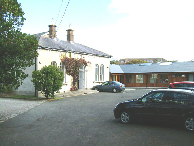 Enclosure in ChurchtownEnclosure · 1297 yd
 bridgebridge · 1503 yd
 Templars Castle (in ruins)Castle, Anglo-Norman masonry castle · 1.4 mi
 Limerick GreenwayWalking route · 2.4 mi
 CahermoyleCastle, unclassified · 3.4 mi
 St. Luke's WellSpring · 3.7 mi
 Sugar HillMountain / peak · 3.9 mi
 St. Kieran's WellSpring · 4.8 mi
 Ballagh MountainMountain / peak · 6.7 mi
 Lawson's CypressLawson's Cypress · 7.9 mi