What is recorded here
Donaghpatrick holds a circular earthen ringfort twenty-three metres across, overlooking Lough Hackett through gently undulating grassland. Its denuded bank remains clearest on the north side, marking a boundary drawn in soil rather than stone. The fort may have served as a seasonal shelter, a trading post or a forgotten home, but its shape still resists the landscape's tendency to erase human claims.
In gently undulating grassland overlooking Lough Hackett to N. Circular rath (D 23m), in fair condition, defined by a denuded bank best preserved at N.
The above description is derived from the published 'Archaeological Inventory of County Galway Vol. II - North Galway'. Compiled by Olive Alcock, Kathy de hÓra and Paul Gosling (Dublin: Stationery Office, 1999).
Date of upload: 05 August 2010
The monument record does not grant public access. Check the route and ask the landowner before entering private land.
- What survives
- Recorded monument
Places near here
 LisbaunFairy fort / earthen ringfort · 359 yd
 Donaghpatrick Church in ruinsChurch · 1054 yd
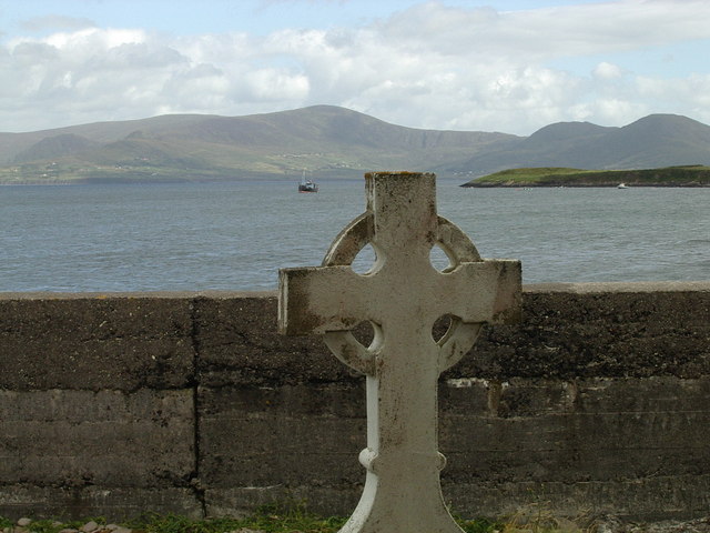 Cross in CrossursaCross · 1094 yd
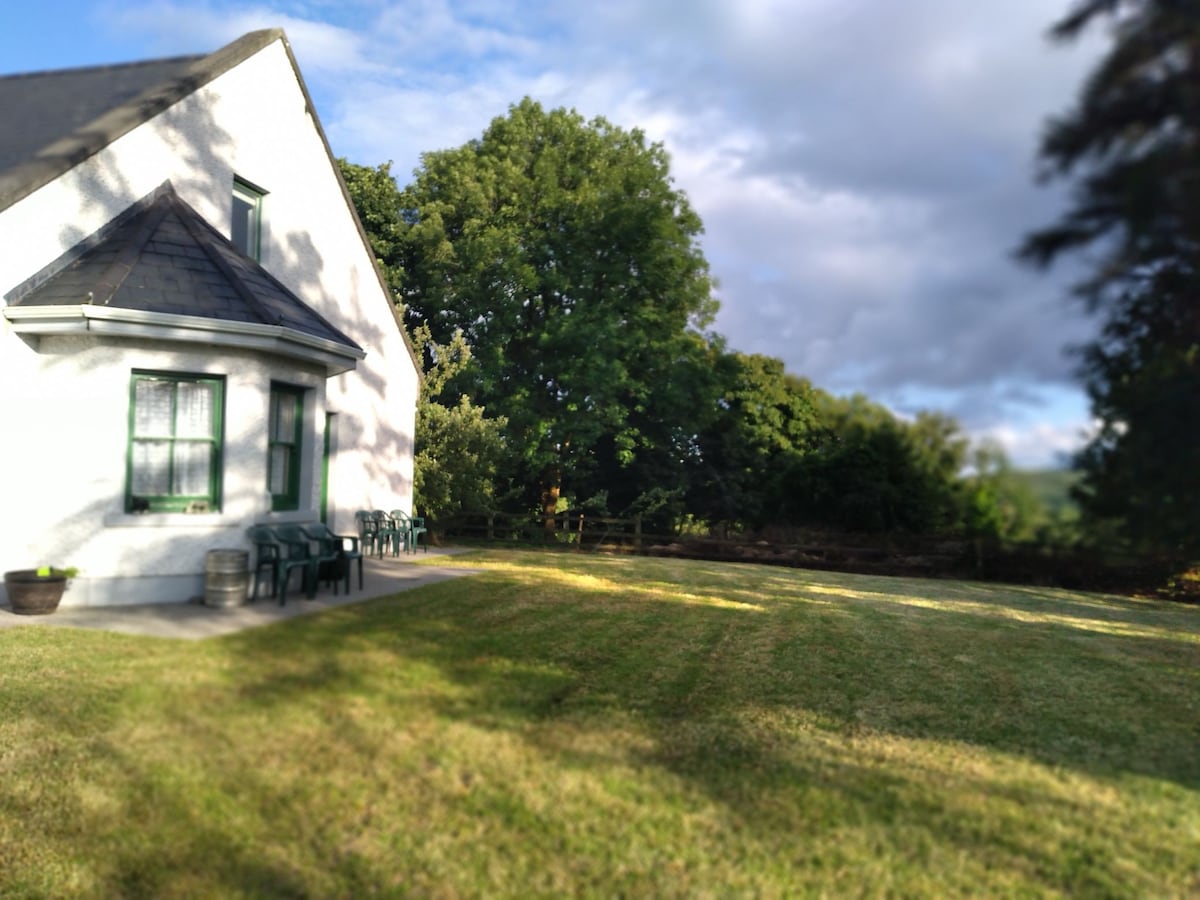 Country house in Barnaboy (headford By.)Country house · 1375 yd
 Headford CastleCastle, unclassified · 2.1 mi
 Cloghanower Castle in ruinsCastle, tower house · 2.6 mi
 Kilcoona Round TowerHeritage attraction · 2.7 mi
 Ross Errilly FriaryHeritage attraction · 3.2 mi
 KnockmaaWood · 3.6 mi
 Pesooge PlantationForest · 3.8 mi
 Ballinduff BayBay · 4.8 mi
 Walsh's IslandIslet · 4.9 mi