What is recorded here
Donaghmore held a circular earthen fort on a west-facing slope above Clonakilty Bay. Men lived inside that ring before ploughs and lust erased it. The bay still sends mist through the grass where the wall stood, suggesting the fort is not gone but waiting for someone steady enough to remember its shape.
In pasture, on WSW-facing slope, overlooking Clonakilty Bay. Marked as circular enclosure on OS 6-inch map (1842). Levelled; no visible surface trace.
The above description is derived from the published 'Archaeological Inventory of County Cork. Volume 1: West Cork' (Dublin: Stationery Office, 1992). In certain instances the entries have been revised and updated in the light of recent research.
Date of upload/revision: 14 January 2009
The monument record does not grant public access. Check the route and ask the landowner before entering private land.
- What survives
- Recorded monument
Places near here
 Castle (in Ruins)Castle, unclassified · 667 yd
 Church in DonaghmoreChurch · 804 yd
 LismahonFairy fort / earthen ringfort · 806 yd
 Views Simon's CoveViewpoint · 1281 yd
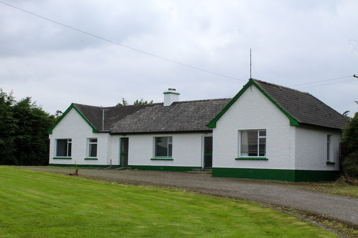 IndicatedQuarry · 1397 yd
 Flat Rocks Simon's CoveViewpoint · 1584 yd
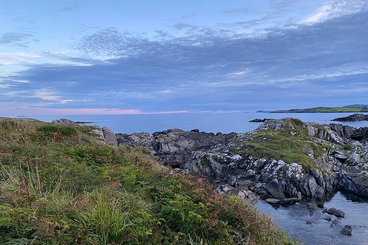 Interesting Cliffs RingCliff · 1.3 mi
 CrossnalinnivBurial ground · 1.7 mi
 Stoney Beach RingBeach / strand · 1.8 mi
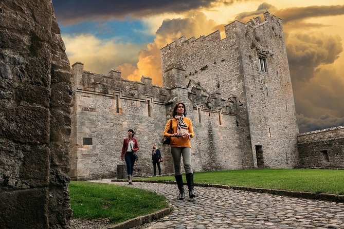 Rock Castle (in Ruins)Castle, tower house · 1.8 mi
 Inchydoney BeachBeach / strand · 2.7 mi
 Clonakilty HarbourBay · 3.2 mi