What is recorded here
Donagh Beg is an earthen ringfort on a drumlin above the Bonet River valley, with a grass-covered circle thirty-four metres wide and a surviving outer bank and fosse on its western edge. It is not a fantasy fortress, though local names often turn ordinary raths into fairy forts because they seem to belong elsewhere. The measured earth, visible ditch and unbroken western perimeter leave less room for invention than the name suggests.
Located on top of a drumlin on the floor of the Bonet River valley with a N-S section of the Owenmore river c. 300m top the W. Grass-covered subcircular area (int. dims. 34m E-W; 30.5m N-S) cut by a N-S field bank towards the perimeter at W and surviving undisturbed to W of this feature where it is defined by an earthen bank (Wth 2.8m; int. H 0.35m; ext. H 1.25m) and outer fosse (Wth 4m; D 0.3m) S-N. The perimeter is reduced to a scarp (H 0.3m) and flat bottomed fosse (Wth 3.5m; D 0.2m) NNW-E-SSW but the original entrance is not identified.
The above description is derived from 'The Archaeological Inventory of County Leitrim' compiled by Michael J. Moore (Dublin: Stationery Office, 2003). In certain instances the entries have been revised and updated in the light of recent research.
Date of upload: 23 September 2008
The monument record does not grant public access. Check the route and ask the landowner before entering private land.
- What survives
- Recorded monument
Places near here
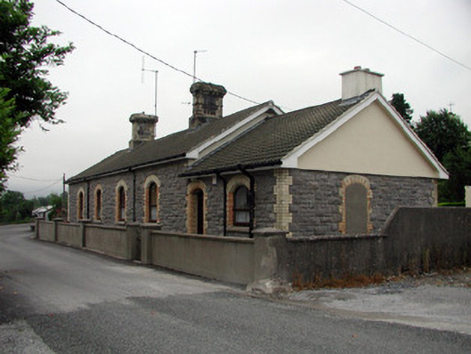 Manorhamilton Railway Stationrailway station · 540 yd
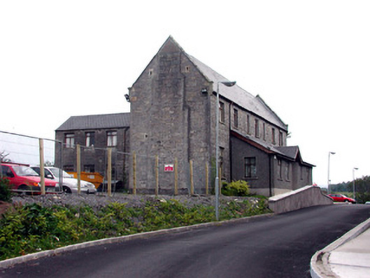 workhouseworkhouse · 757 yd
 Teach AllaisSweathouse · 951 yd
 IndicatedFairy fort / earthen ringfort · 1065 yd
 The Giants GraveArchaeological place · 1.6 mi
 Giants RockNamed rock · 1.6 mi
 Kilroosk RockNamed rock · 2.6 mi
 BenboMountain / peak · 3.1 mi
 Ashisland WoodForest · 3.1 mi
 Dough MountainMountain / peak · 3.2 mi
 Longhill WoodForest · 3.4 mi
 Castle CarCastle · 3.9 mi