What is recorded here
Doire Mhór Thoir holds a twenty-four-metre earthen ring where hidden stone passages still twist beneath the soil. The bank has given up most of its height to rain and time, yet two ghost lines remain visible through collapsed openings and scattered roof slabs. Whatever lived inside that shallow circle left no monument, only a bedroom dug into the earth and a door the sea forgot to close.
Internal diam. c. 24.5m. A univallate rath situated on the level coastal strip between Tralee Bay and the foot of the Slieve Mish mountains. A Man-made underground passage, partly contained within the material of the bank, is now inaccessible. The earthen enclosing bank is a maximum of 1.5m high externally and 1.75m high internally, but is generally very eroded and disturbed. It is c. 4m wide at base. There is no clear evidence for an entrance, but it may have been sited in the W portion of the bank which is now incorporated into a field fence and almost completely destroyed.
The Man-made underground passage appears to consist of 2 passages, one leading roughly S from near the centre of the ringfort, the other, running SSW-NNE at the S end of the 1st, being contained within the ringfort bank. At present there are 3 openings but none are large enough to allow access. The line of the S running passage is indicated on the surface by 2 stony hollows and by a partly exposed roofing slab under which an opening extends SSW for 1.4m. A portion of the 2nd passage, .75m wide x .7m high, is visible through an opening at its NNE end, but collapse of one of the roofing slabs prevents access. The side-walls are of drystone construction and are slightly corbelled. It is not clear how far the passage may have continued to NNE from the opening, but it must extend at least 2.5m to SSW to where the 3rd opening is located. Two large slabs, lying on the bank beside this latter, resemble roof slabs and may have been removed from some portion of the Man-made underground passage. The only other feature visible within the ringfort is a scatter of stones a little SE of centre. This measures c. 2m x 1m and is c. 0.2m high.
The above description is derived from J. Cuppage, ‘Corca Dhuibhne. Dingle Peninsula archaeological survey. Ballyferriter. Oidhreacht Chorca Dhuibhne’ (1986), no. 385. In certain instances the entries have been revised and updated in the light of recent research.
Date of upload: 6 August 2013
The monument record does not grant public access. Check the route and ask the landowner before entering private land.
- What survives
- Recorded monument
Places near here
 Man-made underground passage in Doire Mhór ThoirMan-made underground passage · 4 yd
 Enclosure in Doire Mhór ThiarEnclosure · 828 yd
 Derrymore Island Nature ReserveNature reserve · 1714 yd
 Killelton Church (in ruins)Church · 1.9 mi
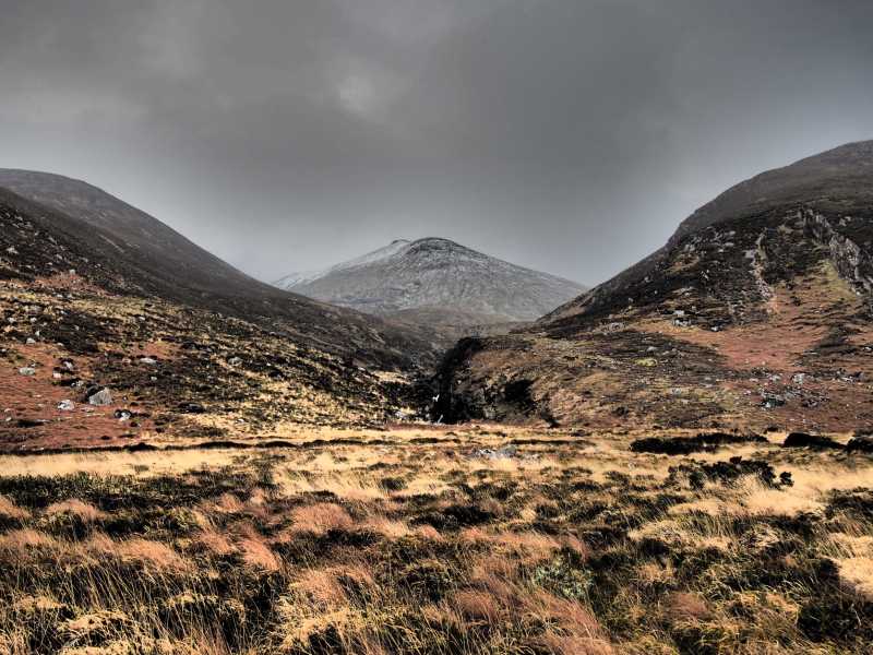 Baurtregaum NW TopMountain / peak · 2.0 mi
 Baurtregaum NE TopMountain / peak · 2.1 mi
 Saint BrendanMemorial · 2.3 mi
 Samphire IslandIslet · 2.3 mi
 Church in KilfenoraChurch · 2.5 mi
 Fenit BeachBeach / strand · 2.7 mi
 Samphire Island LittleIslet · 2.8 mi
 Site of Camp CastleCastle, unclassified · 3.3 mi