What is recorded here
Doire Mhór Thoir holds a broken earthen ring where a field wall now cuts through memory itself. The eastern half vanished entirely while the western half absorbed field clearance debris, yet a southwest bank still rises ninety centimetres externally and one metre fifty internally. That surviving ridge suggests the fort resisted forgetting longer than stone walls elsewhere. It is a place where human ambition and regional neglect collided, leaving behind a shallow scar that still marks the coastal strip between Tralee Bay and the Slieve Mish mountains.
Internal diam. c. 20m
A poorly-preserved univallate rath situated on the level coastal strip between Tralee Bay and the Slieve Mish mountains. A field wall bisects the enclosure NNE-SSW and the entire E half of the site has been removed. The W half is very disturbed and has been used as a dump for field clearance debris. The NE sector is largely destroyed but in the SW sector the bank remains to a height of .9m externally, 1.5m internally and is 2.75 to 4.2m in width.
The above description is derived from J. Cuppage, ‘Corca Dhuibhne. Dingle Peninsula archaeological survey. Ballyferriter. Oidhreacht Chorca Dhuibhne’ (1986), no. 387. In certain instances the entries have been revised and updated in the light of recent research.
Date of upload: 6 August 2013
This remains an important historical record, but the official description says the monument is no longer visible or has been destroyed. The monument record does not grant public access. Check the route and ask the landowner before entering private land.
- What survives
- No visible remains or recorded as destroyed
Places near here
 Man-made underground passage in Doire Mhór ThoirMan-made underground passage · 81 yd
 Enclosure in Doire Mhór ThiarEnclosure · 786 yd
 Derrymore Island Nature ReserveNature reserve · 1.0 mi
 Killelton Church (in ruins)Church · 1.8 mi
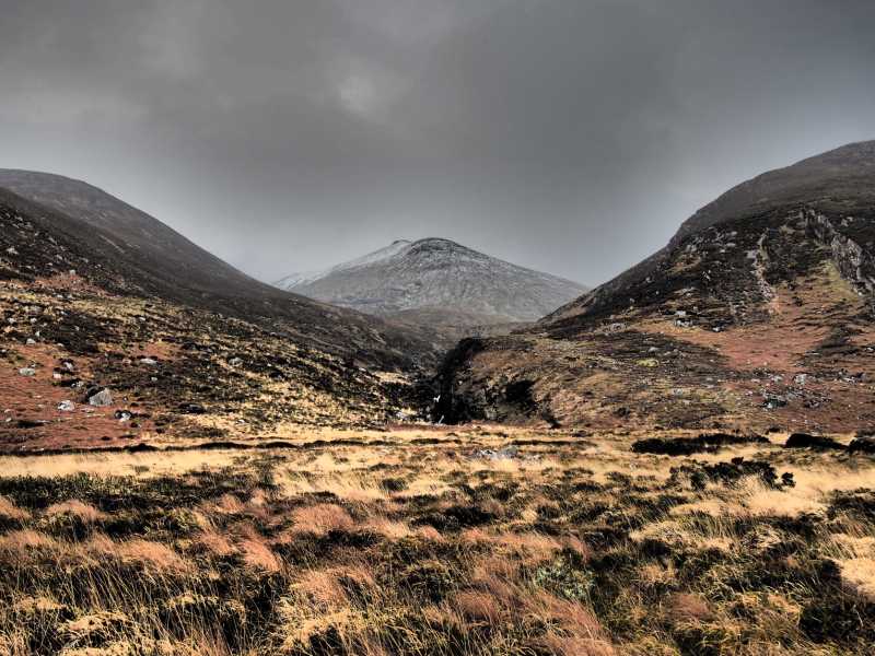 Baurtregaum NW TopMountain / peak · 1.9 mi
 Baurtregaum NE TopMountain / peak · 2.1 mi
 Saint BrendanMemorial · 2.3 mi
 Samphire IslandIslet · 2.3 mi
 Church in KilfenoraChurch · 2.6 mi
 Fenit BeachBeach / strand · 2.8 mi
 Samphire Island LittleIslet · 2.8 mi
 Site of Camp CastleCastle, unclassified · 3.3 mi