What is recorded here
Doire Mhór Thiar holds a forgotten ringfort where a small stone hut still circles the west side of a faint earthen ridge. The bay and mountains watched this place before surveyors drew their first maps, suggesting people lived there while official records looked elsewhere. The field keeps its shape without praise, waiting for boots and patience to reveal what the coast already knows.
A ringfort and hut-site situated at the base of Derrymore Island on the level coastal strip between Tralee Bay and the N slopes of the Slieve Mish mountains. The site was not marked on the 1st edition of the OS map. However, the former presence of a ringfort is indicated by a roughly circular area raised c. 0.15 to .3m above the level of the surrounding field. Though it is difficult to determine its limits with accuracy, it measures a maximum of about 45m overall.
The circular hut-site lies in the W portion of this raised area. Its wall is now represented by a circular band of stone collapse, 13.3m in overall diameter, which encloses an area 6m in diameter and also filled with stone. The bank is about .4m high and from c. 2 to 5m wide. A single course of what may be the inner wall face is visible for a length of 2m at SE.
The above description is derived from J. Cuppage, ‘Corca Dhuibhne. Dingle Peninsula archaeological survey. Ballyferriter. Oidhreacht Chorca Dhuibhne’ (1986), no. 664. In certain instances the entries have been revised and updated in the light of recent research.
Date of upload: 7 August 2013
The monument record does not grant public access. Check the route and ask the landowner before entering private land.
- What survives
- Recorded monument
Places near here
 Man-made underground passage in Doire Mhór ThoirMan-made underground passage · 487 yd
 Enclosure in Doire Mhór ThiarEnclosure · 634 yd
 Derrymore Island Nature ReserveNature reserve · 1522 yd
 Killelton Church (in ruins)Church · 1.9 mi
 Saint BrendanMemorial · 2.0 mi
 Samphire IslandIslet · 2.0 mi
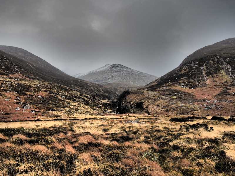 Baurtregaum NW TopMountain / peak · 2.2 mi
 Church in KilfenoraChurch · 2.3 mi
 Baurtregaum NE TopMountain / peak · 2.4 mi
 Fenit BeachBeach / strand · 2.5 mi
 Samphire Island LittleIslet · 2.6 mi
 Site of Camp CastleCastle, unclassified · 3.3 mi