What is recorded here
Doire Mhór Thiar holds a worn earthen ring on the south shore of Tralee Bay, large enough for several hut marks and an entrance narrowed by a single stone course. Its bank has given way in places, yet a hidden passage and odd chamber shape still belong to the land beneath the grass. The fort does not need fairy names to sound like fairy work, because ordinary people built it, lived beside it, and then let the bay take back its edges.
Internal diam. 26.9m N-S, 25m E-W
Situated on low-lying, level ground on the S side of Tralee Bay, this rath is enclosed by an earthen bank, now much eroded and gapped. In the interior are traces of a circular hut and a Man-made underground passage, and 2 possible hut sites are visible outside the enclosing bank. Where best preserved the bank reaches a maximum height of 1.1m and is c. 2.5m wide. The S facing entrance is 1m wide and each side is lined by a single course of stones. A spread of stones outside the WNW sector is raised c. 0.4 to .7m above the external ground level and contains traces of 2 possible hut sites. The northernmost is represented by a rectangular hollow, defined to E and W by low stones. It measures c. 5m NW-SE and 3m NE-SW. To SW of this a crescent-shaped, stony bank, .4 to .6m high, may have formed part of a 2nd hut.
In the interior, the outline of a probably circular hut, c. 4m in internal diameter, can be traced a little SW of centre. The NE section of the wall appears to be marked by low heaps of stones and the SW section by an arc of walling, .25m high and .75m wide, with the wall face traceable along the exterior only.
A Man-made underground passage in the N sector of the interior is now marked only by a slight hollow and by a couple of large slabs which are exposed on the surface. However, the landowner described a passage leading to a cruciform ending. A blocked-up aperture in the W bank of the ringfort is probably related to the Man-made underground passage. A bullaun stone has also been recorded at the site (O'Connell 1939, 16-7; KAS).
The above description is derived from J. Cuppage, ‘Corca Dhuibhne. Dingle Peninsula archaeological survey. Ballyferriter. Oidhreacht Chorca Dhuibhne’ (1986), no. 388. In certain instances the entries have been revised and updated in the light of recent research.
Date of upload: 6 August 2013
The monument record does not grant public access. Check the route and ask the landowner before entering private land.
- What survives
- Recorded monument
Places near here
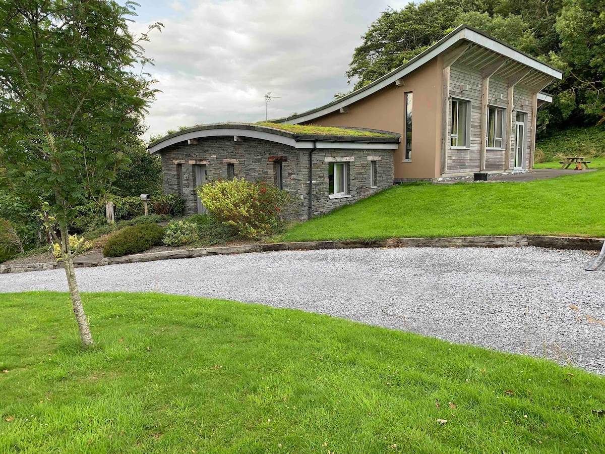 Hut site in Doire Mhór ThiarHut site · 2 yd
 Enclosure in Doire Mhór ThiarEnclosure · 399 yd
 Killelton Church (in ruins)Church · 1.3 mi
 Derrymore Island Nature ReserveNature reserve · 1.4 mi
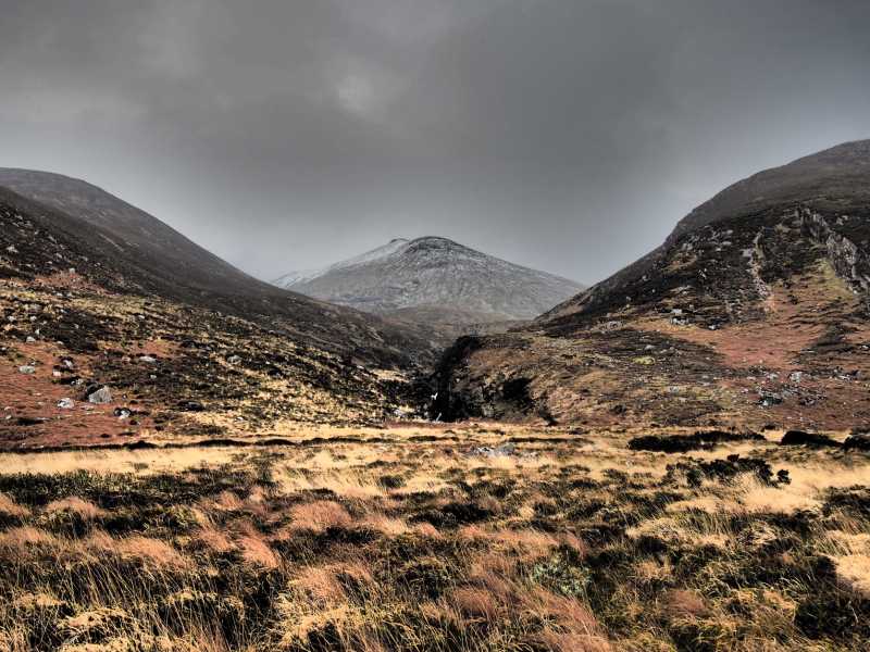 Baurtregaum NW TopMountain / peak · 1.9 mi
 GearhaneMountain / peak · 1.9 mi
 Saint BrendanMemorial · 2.2 mi
 Samphire IslandIslet · 2.3 mi
 Curraduff Bridgebridge · 2.6 mi
 Samphire Island LittleIslet · 2.7 mi
 Fenit BeachBeach / strand · 2.7 mi
 Site of Camp CastleCastle, unclassified · 2.8 mi