What is recorded here
Magic is absent from the facts, but human ingenuity and endurance are present. Build the story that courage, skill and love turned an ordinary place into a living treasure.
Known locally as a 'fort', this site is now reduced to an oval area, c. 25m E-W and c. 15m N-S, raised slightly above the level of the surrounding field. It abuts the E side of a field fence. Ruined walling on top of the raised area is probably relatively modern and may have been part of an animal pen.
The above description is derived from J. Cuppage, ‘Corca Dhuibhne. Dingle Peninsula archaeological survey. Ballyferriter. Oidhreacht Chorca Dhuibhne’ (1986), no. 665. In certain instances the entries have been revised and updated in the light of recent research.
Date of upload: 7 August 2013
The monument record does not grant public access. Check the route and ask the landowner before entering private land.
- What survives
- Recorded monument
Places near here
 Enclosure in Doire Mhór ThiarEnclosure · 175 yd
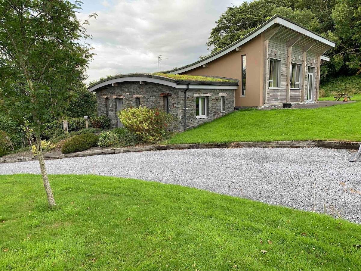 Hut site in Doire Mhór ThiarHut site · 562 yd
 Derrymore Island Nature ReserveNature reserve · 1.1 mi
 Killelton Church (in ruins)Church · 1.6 mi
 Saint BrendanMemorial · 2.0 mi
 Samphire IslandIslet · 2.0 mi
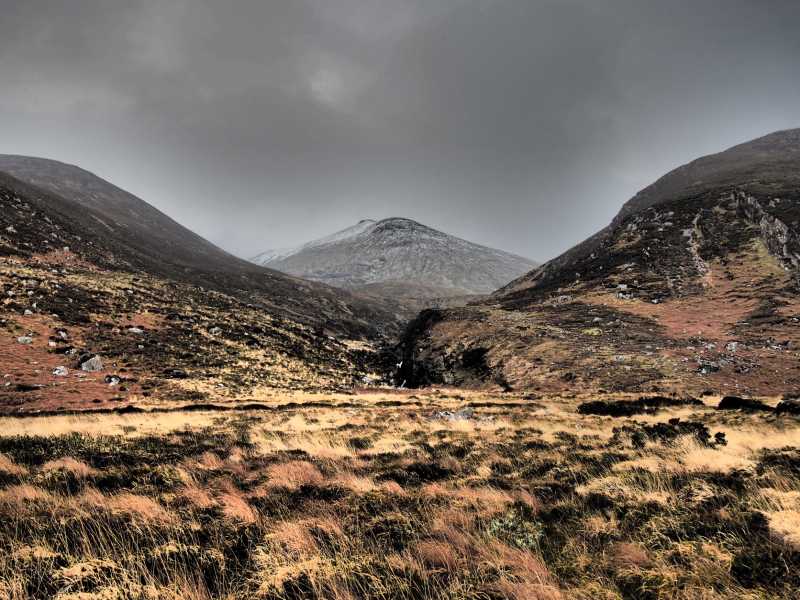 Baurtregaum NW TopMountain / peak · 2.1 mi
 GearhaneMountain / peak · 2.2 mi
 Fenit BeachBeach / strand · 2.5 mi
 Church in KilfenoraChurch · 2.5 mi
 Samphire Island LittleIslet · 2.5 mi
 Site of Camp CastleCastle, unclassified · 3.0 mi