What is recorded here
Fairy fort in Dohora, County Limerick: an earthen ringfort, oval platform about 40m across, set at the SW end of a low NE-SW ridge in pasture. It has watched fields and boundary traffic since before maps, perhaps a home, perhaps a marker, perhaps a place people avoided at dusk. Trees grow inside its shallow ring now, softening the shape but not erasing it.
At the SW end of a low ridge running NE-SW, in pasture, 40m SE of a townland boundary with Anhid West. Described in the SMR file as an oval-shaped platform. Depicted on the 1897 ed. OSi 25-inch map as a subcircular-shaped earthwork (40m E-W; 38m N-S). Monument is visible as a roughly circular-shaped, tree-planted earthwork on OSi orthophotos taken 2005-2012, on Digital Globe orthophotos taken 2011-2013 and on Google Earth orthoimage taken 28/06/2018.
See attached Google Earth orthoimage taken 28/06/2018
Compiled by: Alison McQueen and Vera Rahilly
Date of upload: 22 October 2020
The monument record does not grant public access. Check the route and ask the landowner before entering private land.
- What survives
- Recorded monument
Places near here
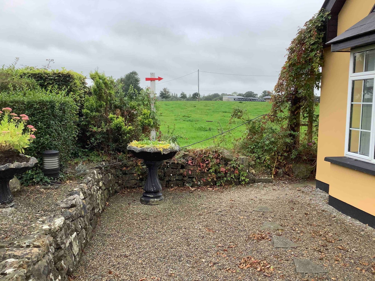 Enclosure in Anhid EastEnclosure · 1009 yd
 Anhid Househouse · 1155 yd
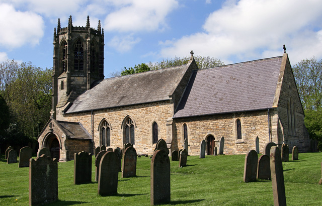 Church (in ruins)Church · 1165 yd
 Anhid Grave YardGraveyard · 1172 yd
 Castle (in ruins)Castle, unclassified · 1.1 mi
 European ashEuropean ash · 1.2 mi
 Bawn in TullovinBawn · 1.4 mi
 Biodiversity in the Maigue CatchmentVisitor information · 1.7 mi
 Dysert AenghusaHeritage attraction · 2.1 mi
 Monasteranenagh AbbeyHeritage attraction · 2.7 mi
 Kinnoor WellSpring · 2.9 mi
 KnockfeerinaMountain / peak · 4.1 mi