What is recorded here
Dirtane is called a fairy fort, but it is an earthen ringfort, a human boundary made visible on the 1842 OS map with a cave marked inside. The enclosure has been levelled, yet two small mounds remain, one oblong and one smaller, perhaps the buried throat of an underground passage. They sit like forgotten ribs, waiting for the story the land stopped telling.
Marked on the 1842 OS map as a circular enclosure with 'cave' marked in the interior, this site does not appear on the 1916 edition. The circular enclosure has been completely levelled and no surface trace remains. However, two small mounds which could be the remains of the Man-made underground passage (KE014-061001-) are still visible. The first mound is oblong, measuring 10.4m x 2.5m internally and .4m high. The second, a much smaller mound, lies c 3m to the SE and measures 2.3m x 1m internally and .3m high.
The above description is derived from C. Toal, ‘North Kerry Archaeological Survey’. Dingle. Brandon in association with FAS Training and Employment Authority (1995), no. 471. In certain instances the entries have been revised and updated in the light of recent research.
Date of upload: 2 August 2013
The monument record does not grant public access. Check the route and ask the landowner before entering private land.
- What survives
- Recorded monument
Places near here
 Our Lady's Holy WellSpring · 126 yd
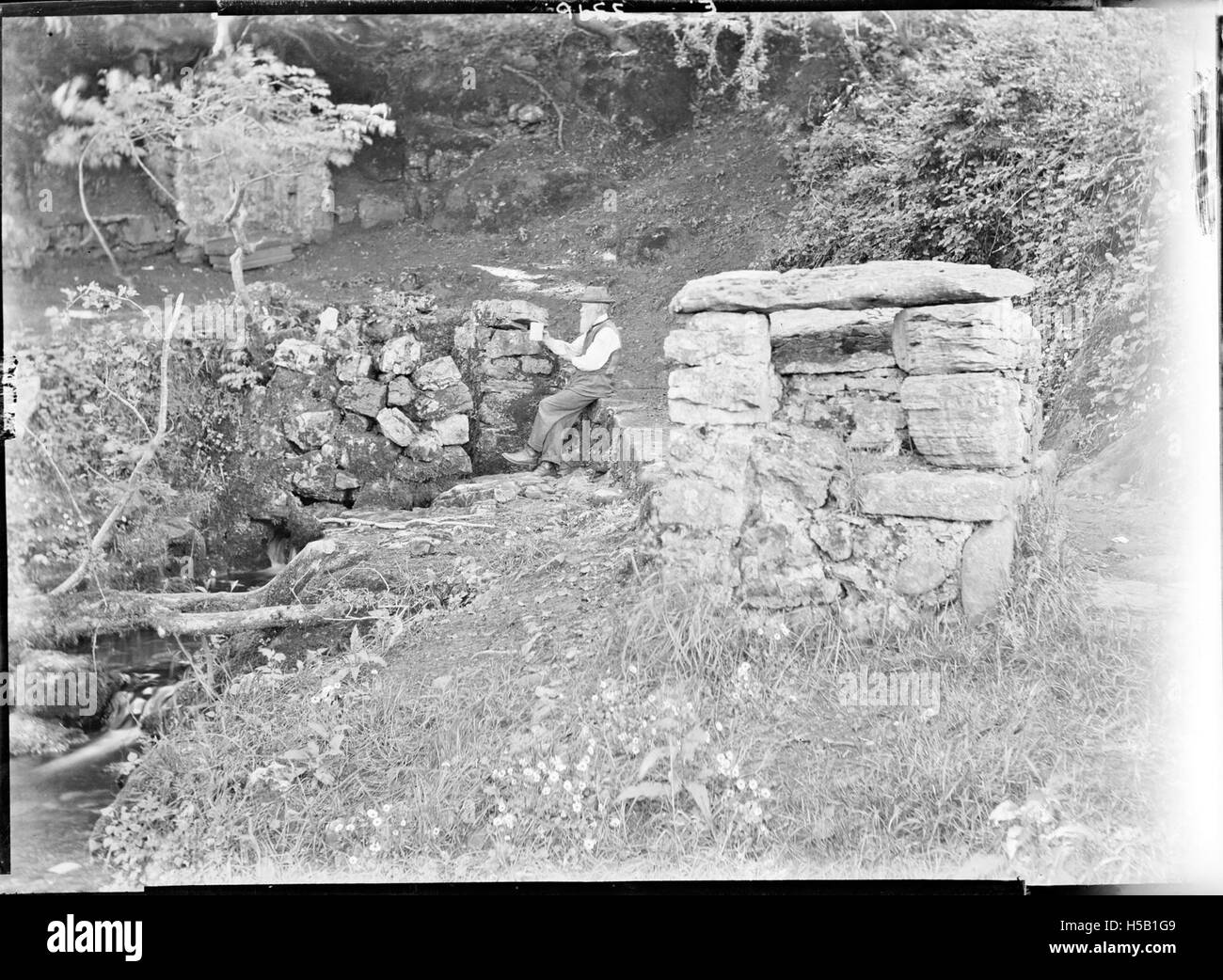 Holy WellHoly well · 131 yd
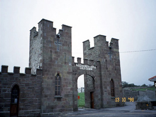 Ballyheige Castlegate lodge · 818 yd
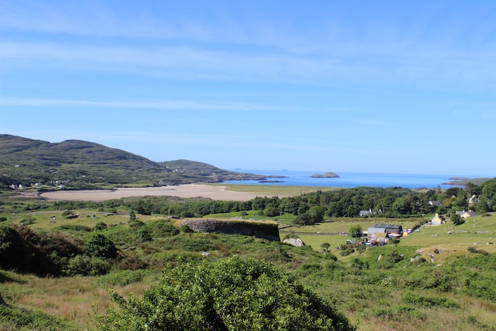 PurtaheenHoly well · 1058 yd
 Saint Mary's Catholic Churchchurch/chapel · 1175 yd
 CastleCastle, unclassified · 2.2 mi
 Maulin MountainMountain / peak · 2.5 mi
 Castle (in ruins)Castle, unclassified · 2.6 mi
 Triskbeg MountainMountain / peak · 2.9 mi
 Inshaboy PointHeadland · 3.8 mi
 Banna StrandBeach / strand · 4.2 mi
 Ardfert CathedralHeritage attraction · 4.8 mi