What is recorded here
Descent to the river valley revealed a place where the Mountain Water River bends from east-west to north-south, but no fort edge, ditch or made ground appeared. Local information still called it a fairy fort, and that contradictory claim did more than measurement: it admitted the limit of what could be seen. I recorded the river, the bend and the absent fort, leaving the unknown intact instead of inventing a boundary the land would not show.
Situated in the valley of the Mountain Water River at a point where it has just turned from a W-E course to N-S. According to local information this is the site of a ‘fort’, but it is an unlikely location and there is no visible evidence of an antiquity.
Date of revised upload: 29 August 2017
The monument record does not grant public access. Check the route and ask the landowner before entering private land.
- What survives
- Recorded monument
Places near here
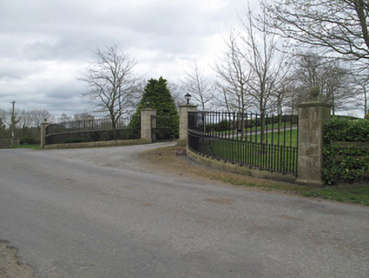 Fort Johnsongate lodge · 193 yd
 Enclosure in StramoreEnclosure · 325 yd
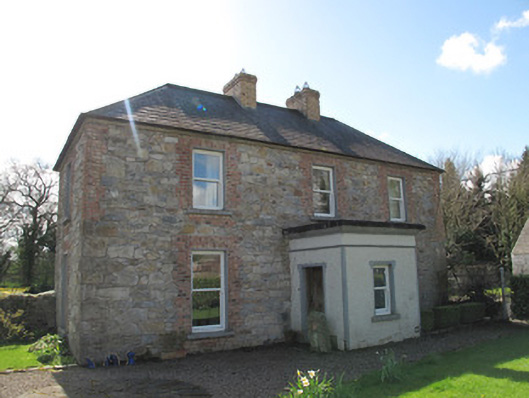 Aghaboy Househouse · 795 yd
 Crannog in Derrygassan Lower,emy,portinaghy,tiramoanCrannog · 1461 yd
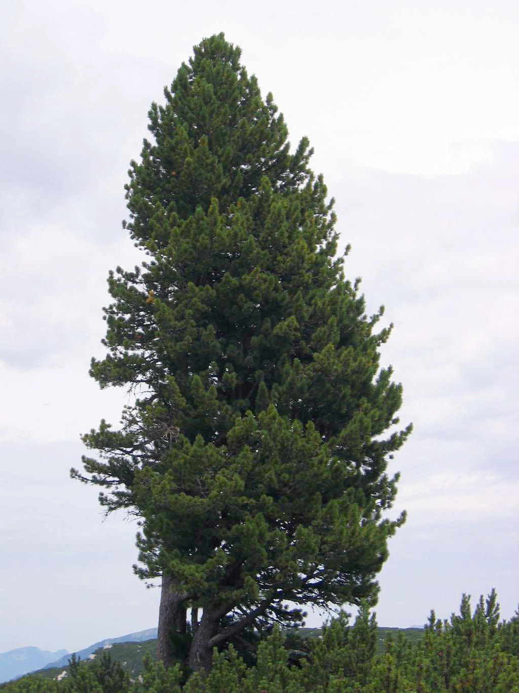 Swiss PineSwiss Pine · 1.5 mi
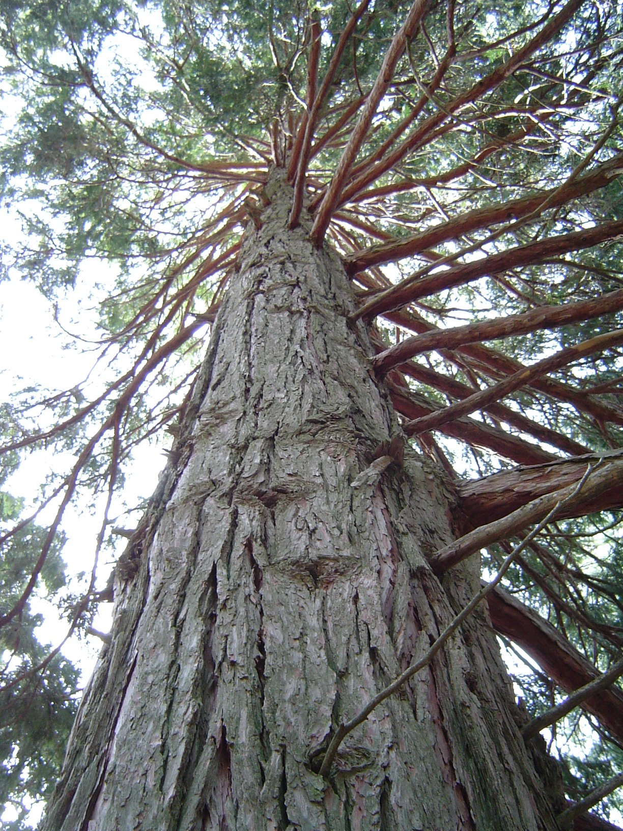 California Incense-cedarCalifornia Incense-cedar · 1.6 mi
 Emyvale Heritage TrailVisitor information · 1.6 mi
 Harry LaveryMemorial · 2.0 mi
 St. Muadain's WellSpring · 4.8 mi
 Rossmore MonumentMemorial · 5.6 mi
 Bawn in Roosky (monaghan By., Monaghan Par.)Bawn · 5.6 mi
 Banba GiantHeritage attraction · 7.0 mi