What is recorded here
Fairy fort in County Monaghan. A 35m circle on an 1834 map, now only a slight curve in a field bank. The Mountain Water loops around it, and the land has taken back what the fort held.
Situated towards the W end of a low E-W ridge in a low-lying landscape, and it is also in a loop of the W-E Mountain Water River with the stream c. 100-200m to the NW, SW and SE. A circular enclosure (diam. c. 35m) is depicted on the 1834 edition of OS 6-inch map where it is described in gothic lettering as a ‘fort’. There is no evidence of an antiquity apart from a slight curve (Chord c. 20m N-S) in a field bank that represents the W edge of the monument, but a NE-SW field bank traverses its interior.
The above description is derived from the published 'Archaeological Inventory of County Monaghan' (Dublin: Stationery Office, 1986). In certain instances the entries have been revised and updated in the light of recent research.
Date of revision: 29 August 2017
The monument record does not grant public access. Check the route and ask the landowner before entering private land.
- What survives
- Recorded monument
Places near here
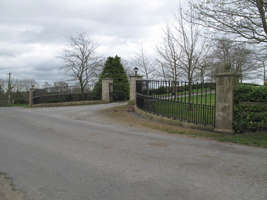 Fort Johnsongate lodge · 357 yd
 Enclosure in StramoreEnclosure · 401 yd
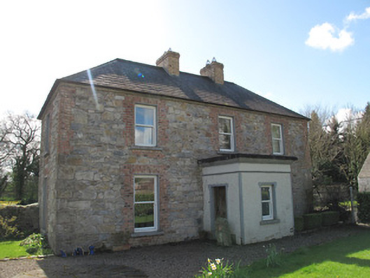 Aghaboy Househouse · 605 yd
 IndicatedEnclosure · 1518 yd
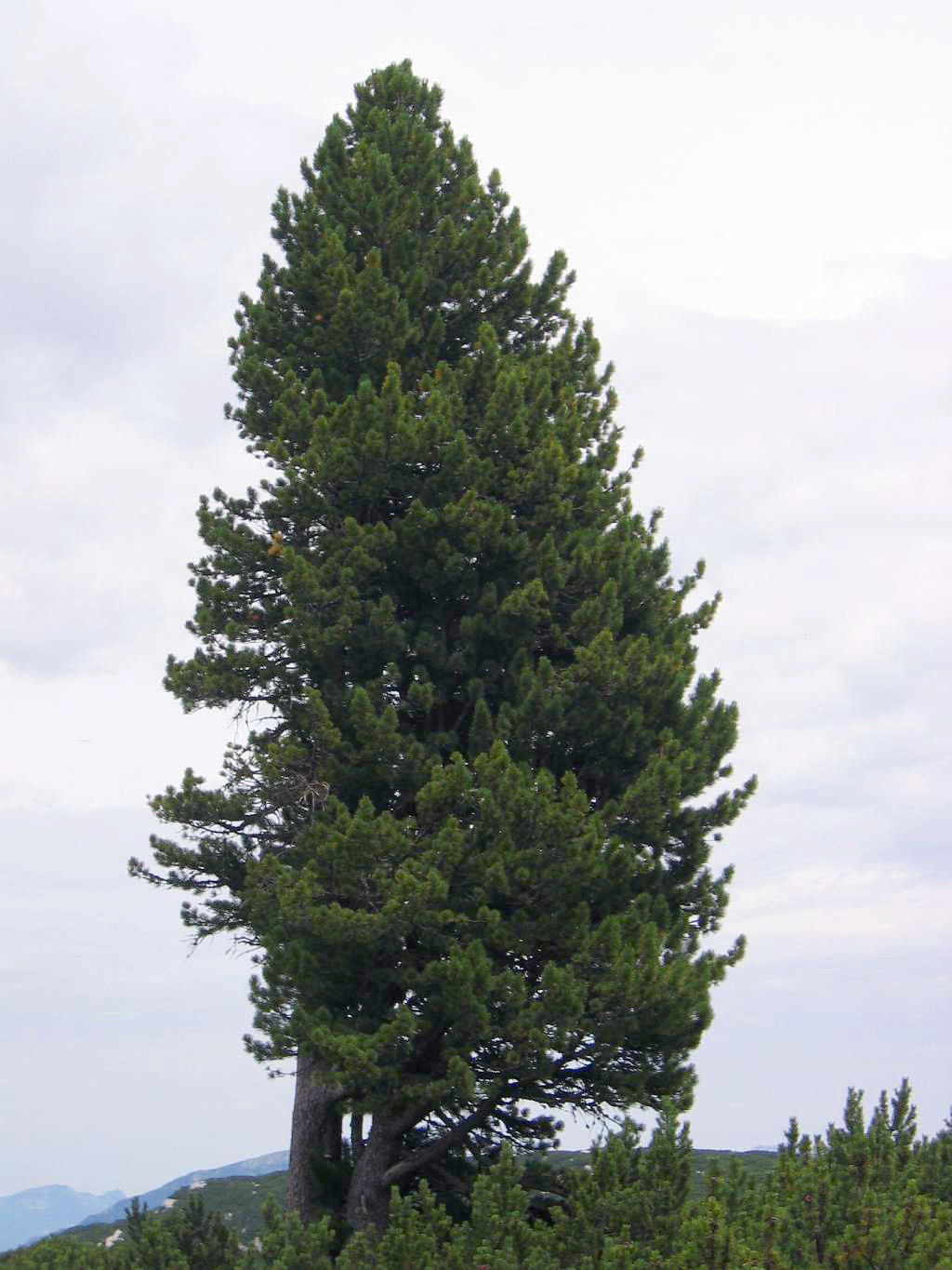 Swiss PineSwiss Pine · 1.4 mi
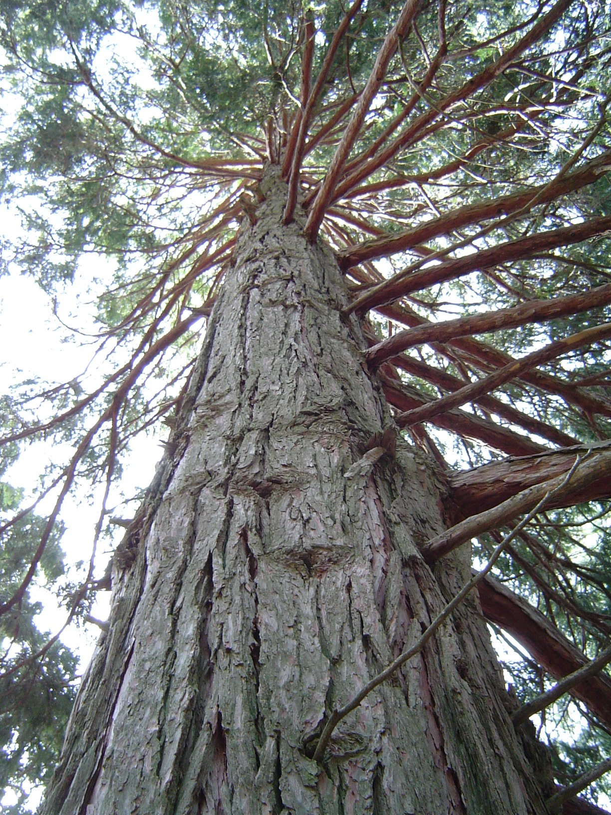 California Incense-cedarCalifornia Incense-cedar · 1.4 mi
 Emyvale Heritage TrailVisitor information · 1.7 mi
 Harry LaveryMemorial · 1.9 mi
 St. Muadain's WellSpring · 4.9 mi
 Rossmore MonumentMemorial · 5.6 mi
 Bawn in Roosky (monaghan By., Monaghan Par.)Bawn · 5.6 mi
 Banba GiantHeritage attraction · 7.0 mi