What is recorded here
Fairy fort in Derryolam, County Monaghan: a 37-metre grass ring on a drumlin crest, with a steep scarp, faint bank and outer ditch. People called it a fairy fort because the shape seemed hidden rather than built for ordinary sight. A farm track has taken part of the ditch, and the entrance has disappeared under grass and forgetting.
Situated at the crest of the SE end of a NW-SE drumlin ridge. This is a raised circular grass-covered area (diam. 37m N-S; 37m E-W) defined by an overgrown scarp (Wth 2-2.5m; H 1.3-1.5m), with indications of a bank on top SE-S and WSW-NW (at W: Wth 2m; int. H 0.2m). There are slight traces of an outer fosse (Wth c. 3m; D 0.2m) SE-W-NW that morphs into a farm track NW-NE and a berm NE-SE. The original entrance is not identified. The interior has become overgrown since 1967 (Bing 2013).
The above description is derived from the published 'Archaeological Inventory of County Monaghan' (Dublin: Stationery Office, 1986). In certain instances the entries have been revised and updated in the light of recent research.
Date of revision: 28 July 2017
The monument record does not grant public access. Check the route and ask the landowner before entering private land.
- What survives
- Recorded monument
Places near here
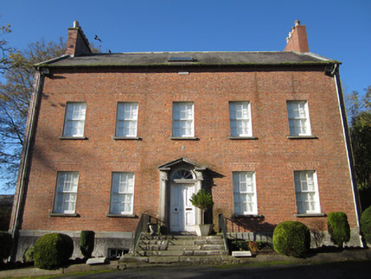 Derryolam Houserectory/glebe/vicarage/curate's house · 197 yd
 Horse-chestnutHorse-chestnut · 247 yd
 Carrickmacross Union Workhouseworkhouse · 480 yd
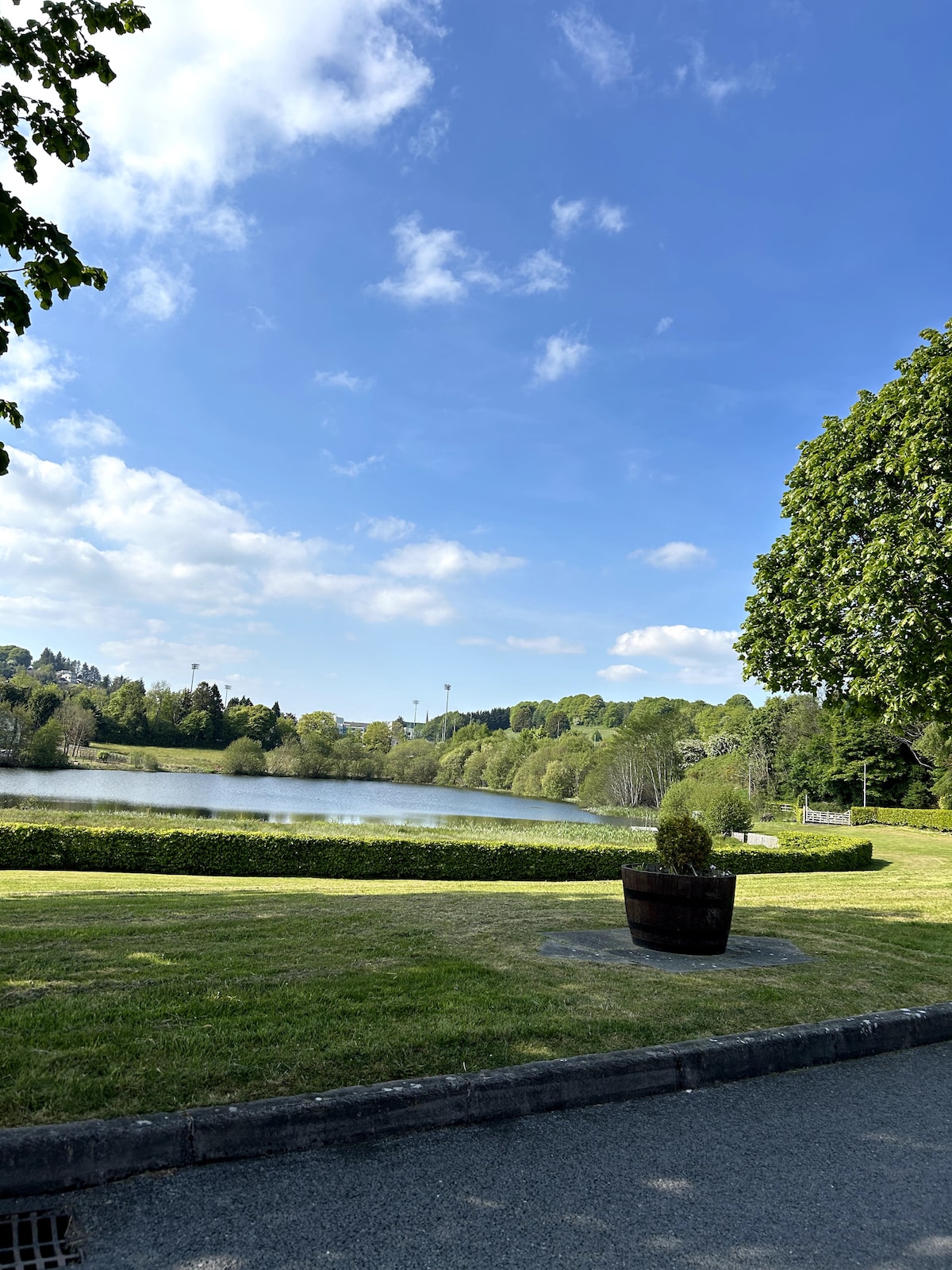 Embanked enclosureFairy fort / earthen ringfort · 889 yd
 Tober InverHoly well · 1321 yd
 European BeechEuropean Beech · 1704 yd
 Mannan Castle (in ruins)Castle, Anglo-Norman masonry castle · 2.3 mi
 TobernagalliaghSpring · 2.8 mi
 Drumerlough MoreMountain / peak · 4.0 mi
 CastleCastle, motte and bailey · 4.2 mi
 Natural Play AreaMemorial · 5.0 mi
 RaferaghMountain / peak · 5.0 mi