What is recorded here
That is the smallest permanent address available for the requested story.
Located towards the bottom of the S-facing slope of a drumlin. A curving overgrown bank (Wth 7m; int. H 0.7m; ext. H 1.3-1.9m) and fosse (Wth of top 6.8m; Wth of base 4m; D 1.1m) NW-E-SE enclose a semicircular overgrown area (int. diam. 47m NW-SE) in 1991. There is no evidence that the enclosure was ever complete. The scrub has been completely cleared the bank appears to be a very slight feature (Bing 2013).
The above description is derived from 'The Archaeological Inventory of County Leitrim' compiled by Michael J. Moore (Dublin: Stationery Office, 2003). In certain instances the entries have been revised and updated in the light of recent research.
Date of revised upload: 27 February, 2017
The monument record does not grant public access. Check the route and ask the landowner before entering private land.
- What survives
- Recorded monument
Places near here
 DerrynigginMountain / peak · 282 yd
 Moyagh ChurchChurch · 1098 yd
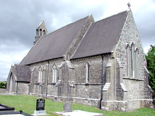 Saint Patrick's Church (Carrigallen)church/chapel · 1124 yd
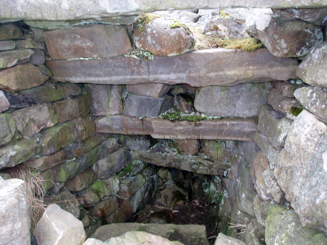 Outlined, Corn KilnEnclosure · 1474 yd
 CastleCastle, ringwork · 1646 yd
 Black PoplarBlack Poplar · 1.1 mi
 IndicatedCastle, tower house · 1.2 mi
 Crane IslandIslet · 1.2 mi
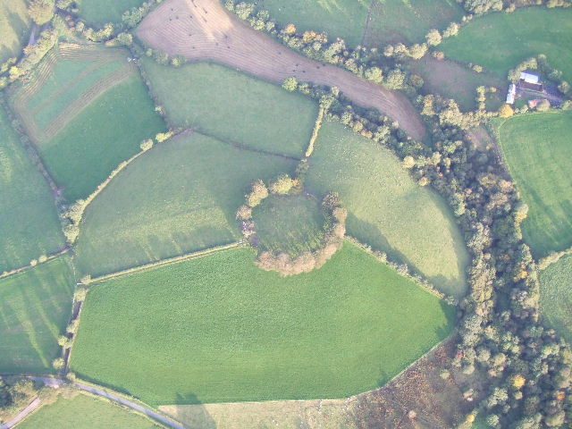 Fairy fort / earthen ringfort in MullyasterFairy fort / earthen ringfort · 1.2 mi
 Cherry IslandIslet · 1.3 mi
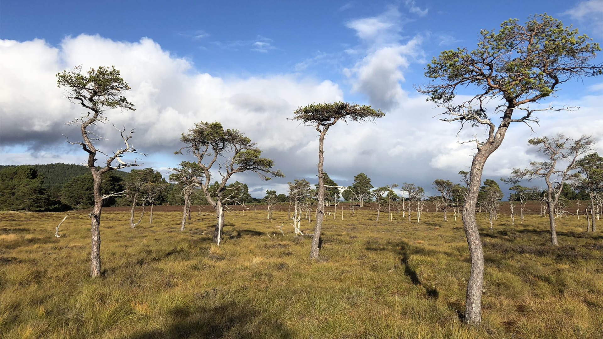 Derrycassan Bog WoodlandWood · 1.3 mi
 Giants GraveArchaeological place · 2.0 mi