What is recorded here
Fairy forts are human ringforts misnamed. In Derrynanool, a circular earthwork stood atop a natural rise in County Cork, wide enough for a small dwelling, a kiln, a dog, and the noise of ordinary life. It appeared on maps before it disappeared beneath pasture and forgetting. The fairies did not build it; people did, and then vanished from the story.
In pasture, atop natural rise. Depicted as hachured circular enclosure (diam. c. 20m) on 1842 OS 6-inch map; as hachured circular raised area (diam. c. 30m) on 1905 and 1935 OS 6-inch maps. Levelled; no visible surface trace.
The above description is derived from the published 'Archaeological Inventory of County Cork. Volume 4: North Cork' (Dublin: Stationery Office, 2000). In certain instances the entries have been revised and updated in the light of recent research.
Date of upload/revision: 14 January 2009
The monument record does not grant public access. Check the route and ask the landowner before entering private land.
- What survives
- Recorded monument
Places near here
 Water millWater mill, horizontal-wheeled · 711 yd
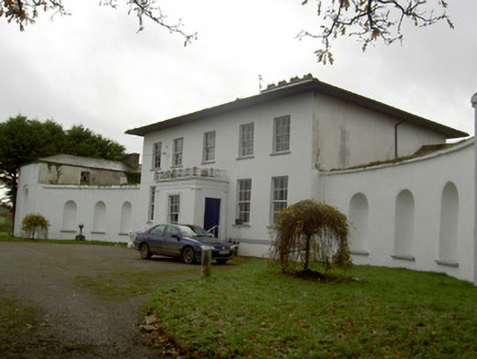 Killee Housecountry house · 1466 yd
 Grave YardGraveyard · 1.1 mi
 Mound in KnockagarryMound · 1.1 mi
 CastleCastle, unclassified · 1.2 mi
 Carriganoura Castle (in Ruins)Castle, tower house · 1.2 mi
 Kilclooney WoodWood · 1.8 mi
 Flat cemetery in Ballyenahan NorthFlat cemetery · 3.4 mi
 John MandevilleMemorial · 3.5 mi
 Mitchelstown Town MapVisitor information · 3.5 mi
 CarrigeenamronetyMountain / peak · 4.0 mi
 FlagCave · 4.8 mi