What is recorded here
Half a metre of scarp and a shallow ditch still mark a D-shaped chamber on the drumlin, though no entrance remains visible. The earth has swallowed the doorway and perhaps the hands that dug it, leaving only a grassy bowl where people once drew a line between themselves and the wide dark.
Situated on top of a drumlin. This is a grass and rush-covered D-shaped area (dims 43.5m N-S; 40m E-W) defined by a scarp (max. H 0.5m) and an external fosse (Wth of base 2m; D 0.1m) SW-N-NE. The monument is truncated by a N-S field bank at E but a field bank and hedge circumscribes the perimeter at S. The original entrance is not identified.
The above description is derived from 'The Archaeological Inventory of County Leitrim' compiled by Michael J. Moore (Dublin: Stationery Office, 2003). In certain instances the entries have been revised and updated in the light of recent research.
Date of upload: 23 September 2008
The monument record does not grant public access. Check the route and ask the landowner before entering private land.
- What survives
- Recorded monument
Places near here
 LisdrumgranFairy fort / earthen ringfort · 953 yd
 IndicatedFairy fort / stone ringfort · 1083 yd
 Church (in Ruins)Church · 1505 yd
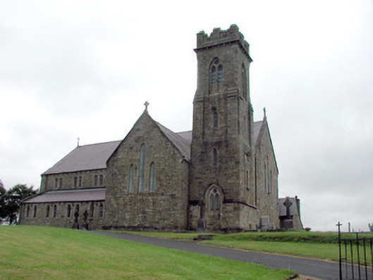 Saint Brigid's Catholic Churchchurch/chapel · 1.1 mi
 Drummans IslandIslet · 2.4 mi
 Corry ShoalIslet · 3.2 mi
 Black PoplarBlack Poplar · 3.3 mi
 European ashEuropean ash · 3.3 mi
 Forde's CastleCastle · 3.4 mi
 ArdlougherMountain / peak · 3.8 mi
 Scardan WaterfallWaterfall · 4.0 mi
 Seltannasaggart SE SlopeMountain / peak · 4.2 mi