What is recorded here
Fairy fort in Derrylough, County Longford: a 37-metre oval of raised earth on a gentle south-west slope, its shallow scarp still marking the edge of an older boundary. The wider fosse and outer bank have faded from sight, leaving only a tall stone set on edge at the south-east as a possible gate marker. In low pasture that swallows shape, the fort becomes a threshold: part home, part trap, part invitation to enter what the land no longer names.
On a gentle SW-facing slope in low-lying pasture. This raised oval area (c. 37m NW-SE; c. 30m NE-SW) is defined by a scarp (H 0.4-0.5m) with slight traces of a low bank. The intervening fosse and outer bank recorded in a report in 1976 (SMR file) are no longer visible at ground level. At SE a stone (L 1.1m; 0.65m x 0.37m), set on edge, may mark one side of an entranceway.
Compiled by: Patrick F. O'Donovan
Date of upload: 10 January 2012
The monument record does not grant public access. Check the route and ask the landowner before entering private land.
- What survives
- Recorded monument
Places near here
 Fulacht fia in DerryloughFulacht fia · 800 yd
 StructureStructure, peatland · 928 yd
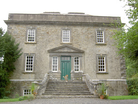 Ledwithstown Househouse · 1.2 mi
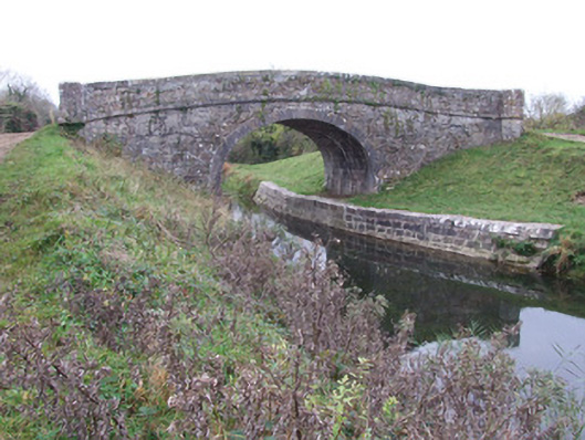 Cloonbreany Bridgebridge · 1.2 mi
 Corlea Trackway Interpretative CentreHeritage attraction · 1.2 mi
 Corlea Bog Walk Canal BranchWalking route · 1.3 mi
 Corlea Bog Walk Blue LoopWalking route · 1.4 mi
 CastleCastle, unclassified · 2.3 mi
 Bawn in BallyknockBawn · 3.1 mi
 Leveret IslandIslet · 4.0 mi
 Culnagore WoodForest · 4.4 mi
 Bush IslandIslet · 4.5 mi