What is recorded here
Fairy fort in Derryleague, County Cavan: a raised circular area, 28.2 metres across inside a low earthen bank, with faint traces of an outer ditch and no recognisable entrance. It may have been a homestead, a boundary marker or a child’s climbing ring before adults stopped asking questions. The missing entrance does not weaken the place; it removes the usual door and invites imagination.
Raised circular area (int. diam. 28.2m) enclosed by a low earthen bank. An earlier description (OPW1968) noted traces of an external fosse from NNW-N-NNE and from S-SE. Original entrance not recognisable.
The above description is derived from the published 'Archaeological Inventory of County Cavan' (Dublin: Stationery Office, 1995). In certain instances the entries have been revised and updated in the light of recent research.
Date of upload/revision: 22 December 2008
The monument record does not grant public access. Check the route and ask the landowner before entering private land.
- What survives
- Recorded monument
Places near here
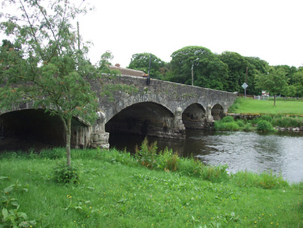
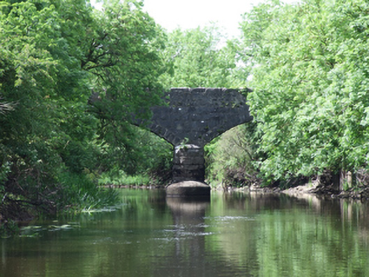 Urney Bridgebridge · 841 yd
 Giants GraveArchaeological place · 1011 yd
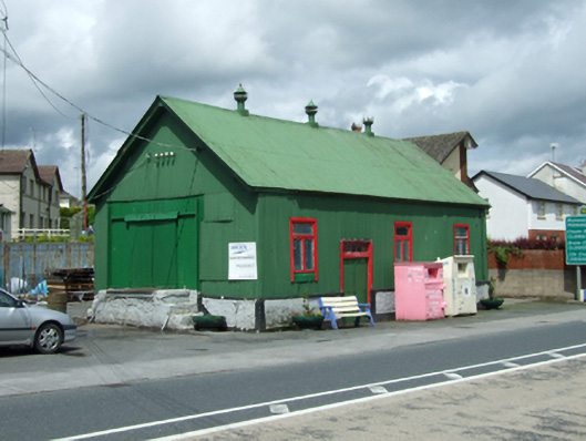 creamerycreamery · 1235 yd
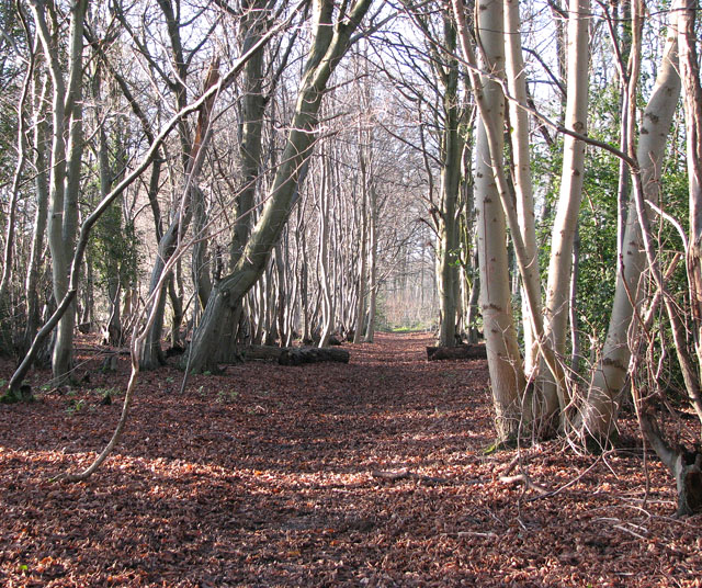 Kilnaglare Lower WoodForest · 1397 yd
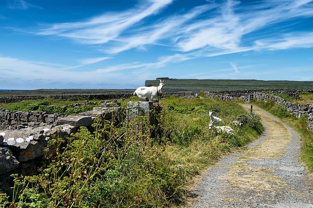 Granshagh or Riverview Fort (Site of)Enclosure · 1471 yd
 IndicatedFairy fort / stone ringfort · 1488 yd
 Derrygarra UpperMountain / peak · 1668 yd
 Annagh Lough BeachBeach / strand · 1.0 mi
 DrumcalpinMountain / peak · 1.1 mi
 Nahillah ParkWood · 1.7 mi
 Duck IslandIsland · 1.8 mi
 InishmuckIsland · 2.1 mi