What is recorded here
Situated on a slight rise of ground with good views of the surrounding countryside. Small circular-shaped area (diam. approx. 29m) enclosed by a poorly preserved earth and stone bank (max H c. 0.5m) best preserved from SE-S-W, elsewhere it has been reduced to a scarp. There are a number of large stones on the scarp at SE, W and W some of these stone are quite large in size. It is not clear if these stones from part of the original enclosing bank or the result of dumping of field clearance debris. No evidence of an external fosse or entrance feature visible. The interior of the monument is relatively flat rising towards the centre where there is a scattering of stones and small boulders. The enclosing bank is covered with scrub and thorn bushes. There are traces of old cultivation ridges running roughly NE-SW in the adjoining field to the S, W and N. On the 1838 ed. OS 6-inch map a laneway is depicted running N-S that intersects the E side of the monument. This disused laneway is depicted as a field boundary on the current ed. OS 6-inch map. No visible remains of this laneway can be seen on OSI aerial photographs. See attached aerial photograph taken from Bing Maps website at www.bing.com/maps.
Compiled by: Caimin O’Brien
Date of upload: 07 April 2014
The monument record does not grant public access. Check the route and ask the landowner before entering private land.
- What survives
- Recorded monument
Places near here
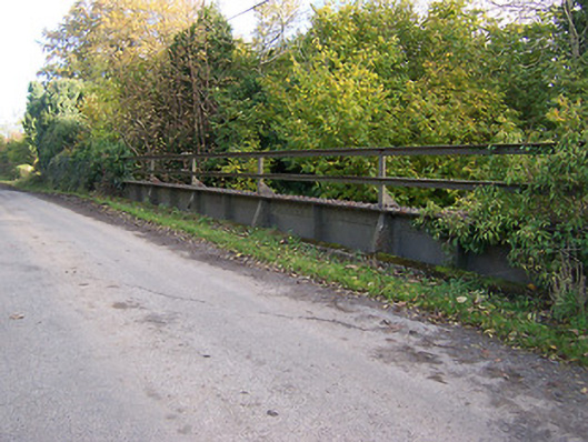 bridgebridge · 879 yd
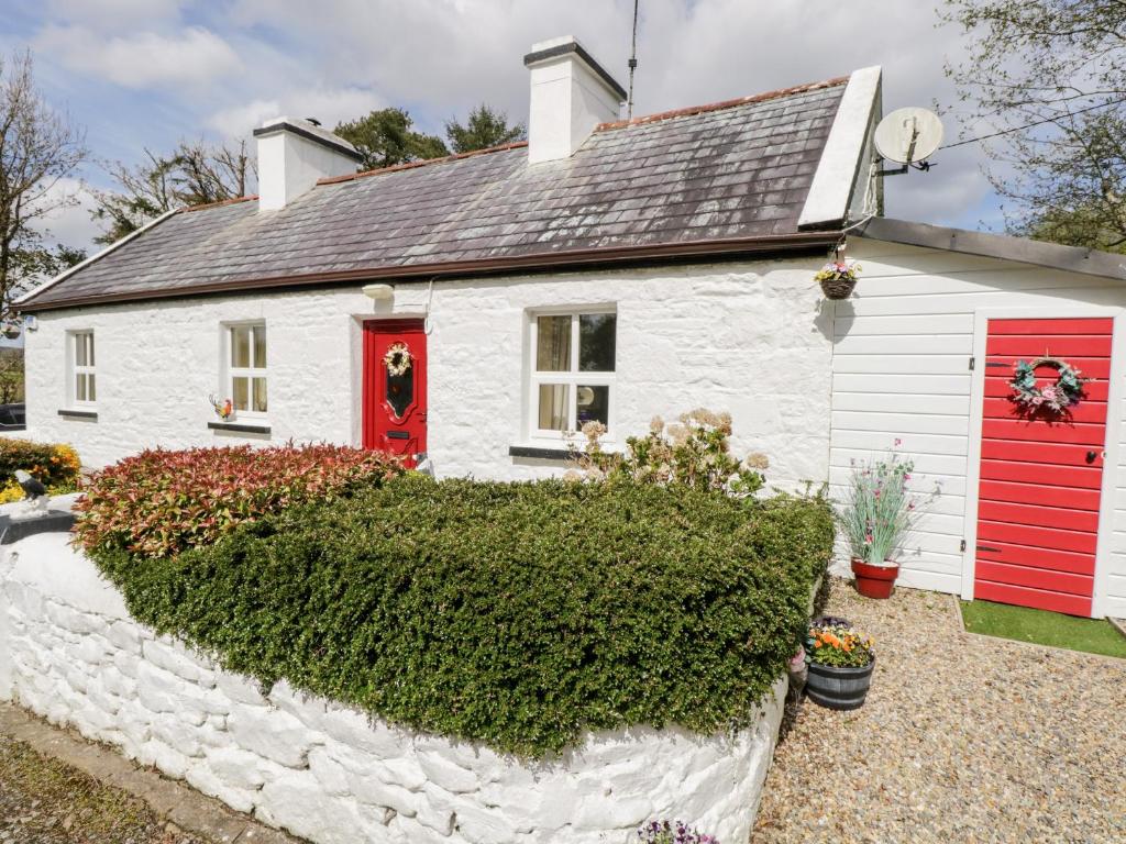 OutlinedFairy fort / earthen ringfort · 923 yd
 Partially indicatedEnclosure · 972 yd
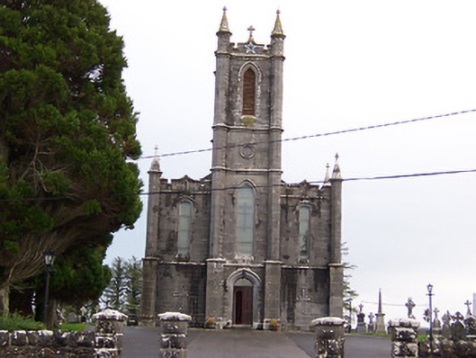 Saint Thomas's Catholic Churchchurch/chapel · 1347 yd
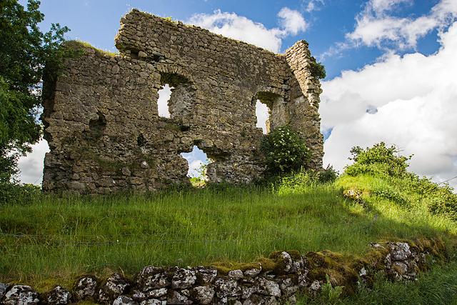 Laragh CastleCastle · 1444 yd
 KnockastiaMountain / peak · 1737 yd
 Japanese pagoda treeJapanese pagoda tree · 1.4 mi
 Bishopstown Castle in ruinsCastle, unclassified · 1.8 mi
 Sam's ParkForest · 2.3 mi
 Kilmalady HillMountain / peak · 3.9 mi
 Charles BianconiMemorial · 4.5 mi
 The Bob Traynor GalleryGallery · 4.6 mi